Integrazione di Reach RX2 con Mergin Maps per iOS
Questo tutorial fornisce istruzioni dettagliate su come integrare Reach RX2 con Mergin Maps per iOS.
Panoramica
Mergin Maps è un'app mobile per dispositivi iOS che Le consente di raccogliere, condividere e pubblicare geodati e di collaborare con i team utilizzando la sincronizzazione istantanea con QGIS.
Reach funziona con Mergin Maps su iOS tramite Internal GPS. Una volta che Reach è associato al Suo iPhone tramite Bluetooth Classic, iOS rende disponibile la posizione di Reach a Mergin Maps attraverso i servizi di localizzazione. Non è richiesta alcuna configurazione del flusso TCP o NMEA.
Con Internal GPS, iOS potrebbe combinare la posizione di Reach con altri dati di localizzazione e regolare la precisione riportata. Mergin Maps, inoltre, non mostra lo stato della soluzione RTK. Utilizzare Emlid Flow per monitorare lo stato della soluzione e la precisione.
Per integrare Reach RX2 con Mergin Maps, è necessario quanto segue:
- Reach RX2
- Un dispositivo con iOS
- App mobile Mergin Maps installata sul proprio dispositivo iOS
- Account Mergin Maps
Flusso di lavoro
Per integrare il proprio Reach RX2 con Mergin Maps, seguire i passaggi seguenti.
Configurazione delle correzioni in Emlid Flow
Reach RX2 utilizza il Bluetooth e trasmette in streaming la sua posizione in formato NMEA per impostazione predefinita. Non è necessaria alcuna pre-configurazione.
Per maggiori informazioni su come ricevere le correzioni sul proprio Reach RX2, consultare la sezione Avvio rapido.
Per ottenere una precisione a livello centimetrico durante il rilievo con Reach RX2, configurare il ricevitore per ricevere le correzioni NTRIP nell'app Emlid Flow. Procedere come segue:
-
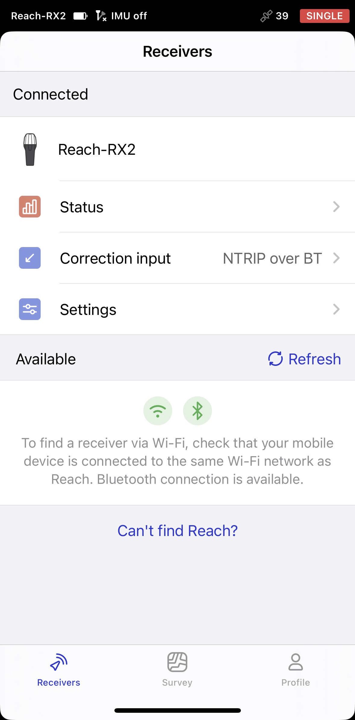
Aprire Emlid Flow e connettersi al proprio Reach.
-
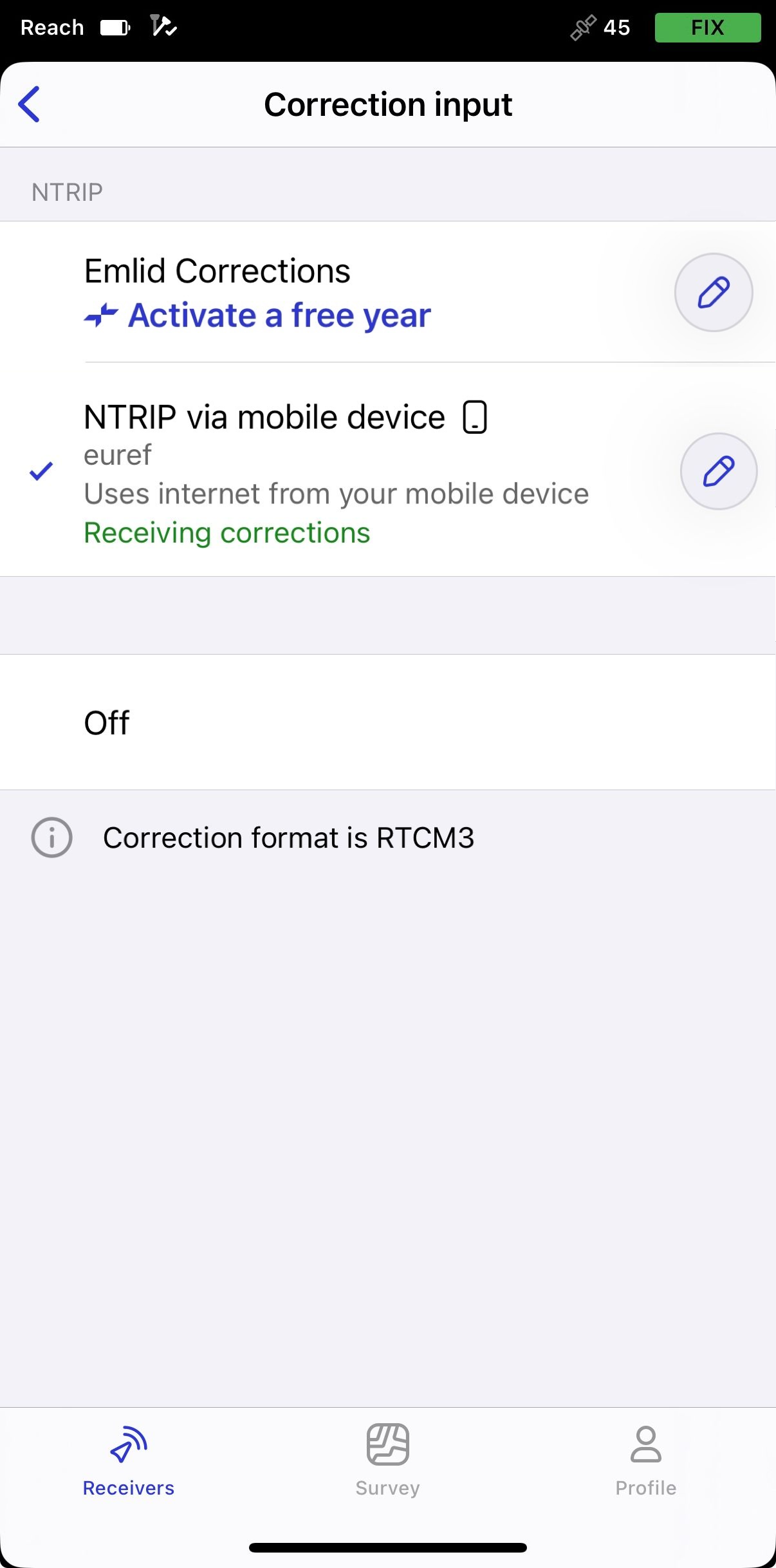
Andare su Correction input (Correzione in ingresso) e toccare NTRIP over mobile device (NTRIP su dispositivo mobile).
-
Toccare il pulsante Edit (Modifica) per configurare la ricezione delle correzioni dalla base NTRIP.
notePer iniziare a ricevere le correzioni, assicurarsi che il ricevitore abbia visibilità satellitare.
Abilitazione della compensazione dell'inclinazione
Reach RX2 supporta la compensazione dell'inclinazione basata su IMU, consentendo di rilevare e picchettare i punti anche quando la palina topografica è inclinata. Il software calcolerà l'angolo e la distanza di inclinazione e determinerà la posizione della punta della palina a terra. Per abilitare la compensazione dell'inclinazione, seguire la guida Come abilitare la compensazione dell'inclinazione.
Configurazione dello stream NMEA in Emlid Flow
Per impostazione predefinita, Reach RX2 trasmette automaticamente il set standard di messaggi NMEA. In questo caso, è necessario impostare l'altezza antenna del ricevitore Reach nel software di terze parti.
Se si desidera trasmettere una posizione compensata del ricevitore Reach, è necessario abilitarla in Emlid Flow. In questo caso, l'altezza antenna è inclusa nell'output, pertanto non è necessario impostarla nell'app di terze parti. Per configurare i messaggi NMEA compensati, procedere come segue:
-
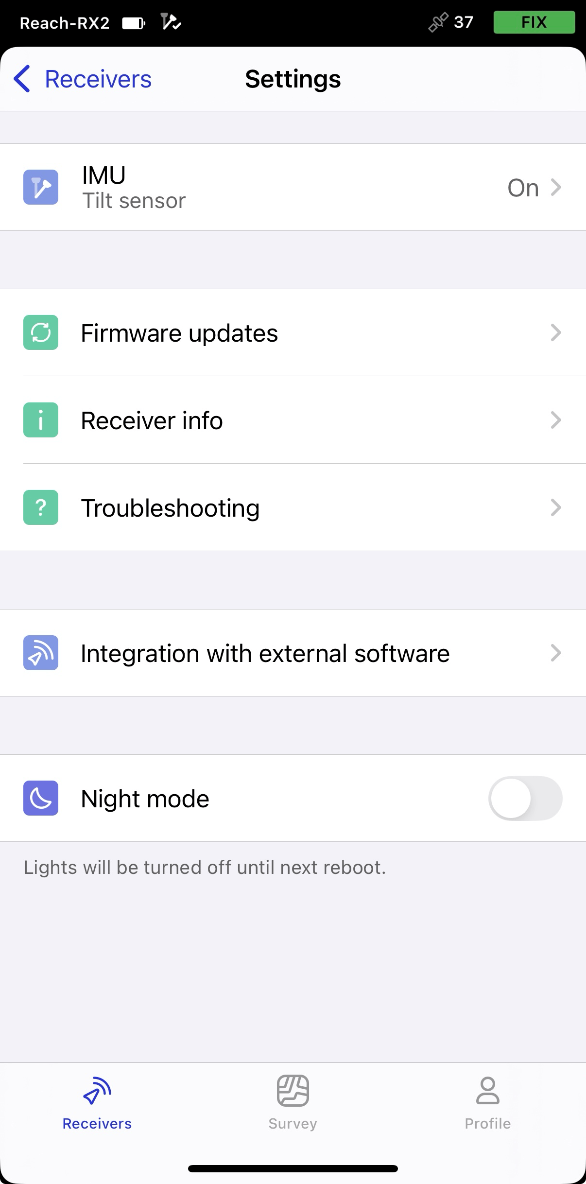
In Emlid Flow, aprire Settings (Impostazioni) e andare su Integration with external software (Integrazione con software esterni).
-
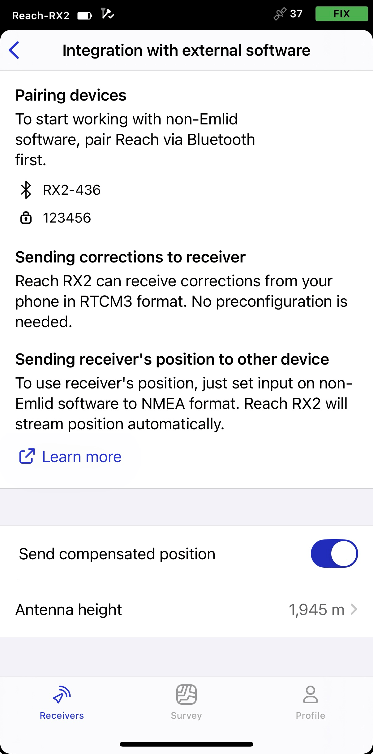
Attivare l'interruttore per abilitare la trasmissione della posizione compensata.
-
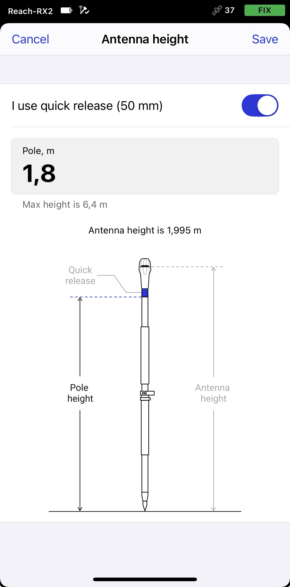
Impostare l'altezza antenna. È sufficiente inserire l'altezza del palo. Emlid Flow applica automaticamente l'offset del centro di fase dell'antenna e regola le misurazioni di conseguenza.
suggerimentoSe si utilizza un sistema di sgancio rapido, attivare l'interruttore per includere la sua altezza nel calcolo dell'altezza antenna.
 attenzione
Quando si inviano messaggi NMEA compensati, impostare l'altezza antenna solo in Emlid Flow. Impostarla anche in app di terze parti potrebbe causare discrepanze.
Accoppiamento di Reach RX2 e dispositivo iOS
Per associare Reach RX2 a Mergin Maps, prima di tutto è necessario associarlo al dispositivo iOS nel modo seguente:
-
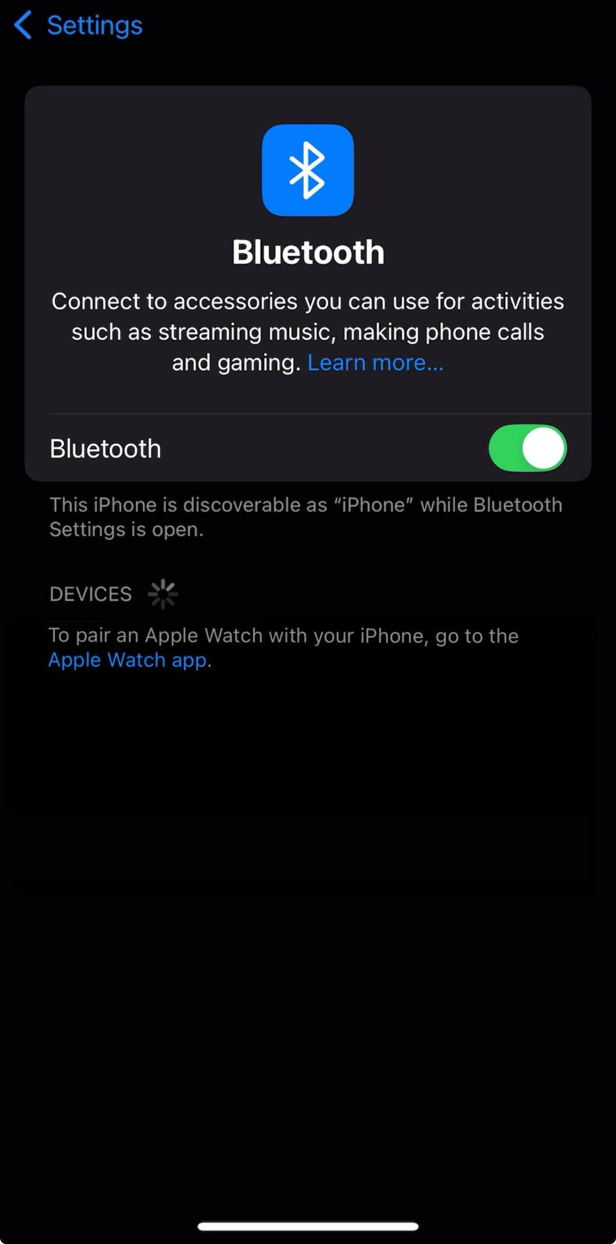
Navigare alla schermata di configurazione Bluetooth sul dispositivo iOS e attivare il Bluetooth.
-
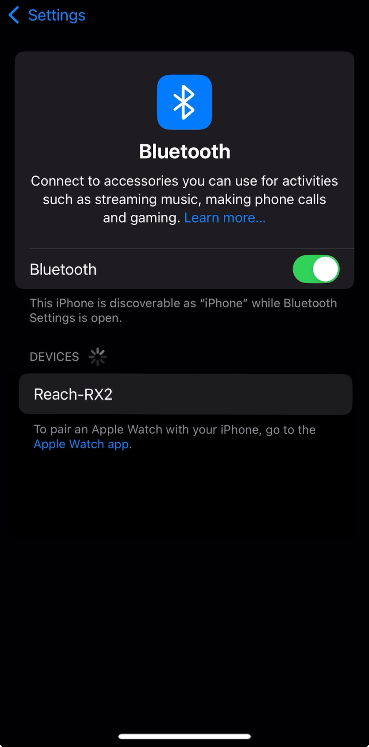
Attendere che il proprio Reach RX2 venga elencato come dispositivo disponibile.
noteTenere il Reach a pochi metri dal dispositivo.
-
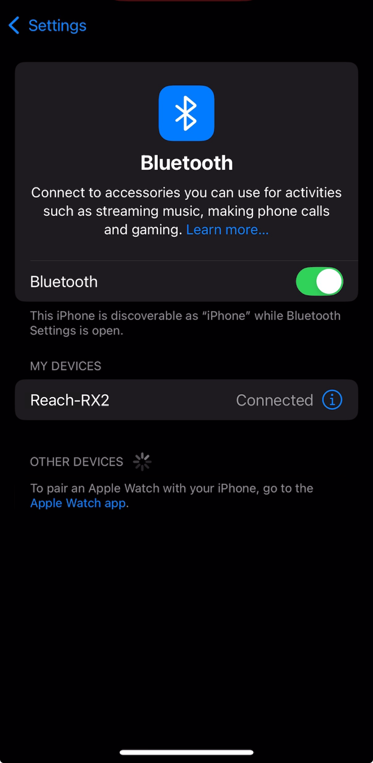
Toccare il nome del Reach nell'elenco dei dispositivi disponibili sul dispositivo iOS. Dovrebbe apparire la nota "Connesso".
noteSe il dispositivo richiede un codice PIN, inserire 123456.
Configurazione della comunicazione tra Mergin Maps e Reach RX su iOS
-
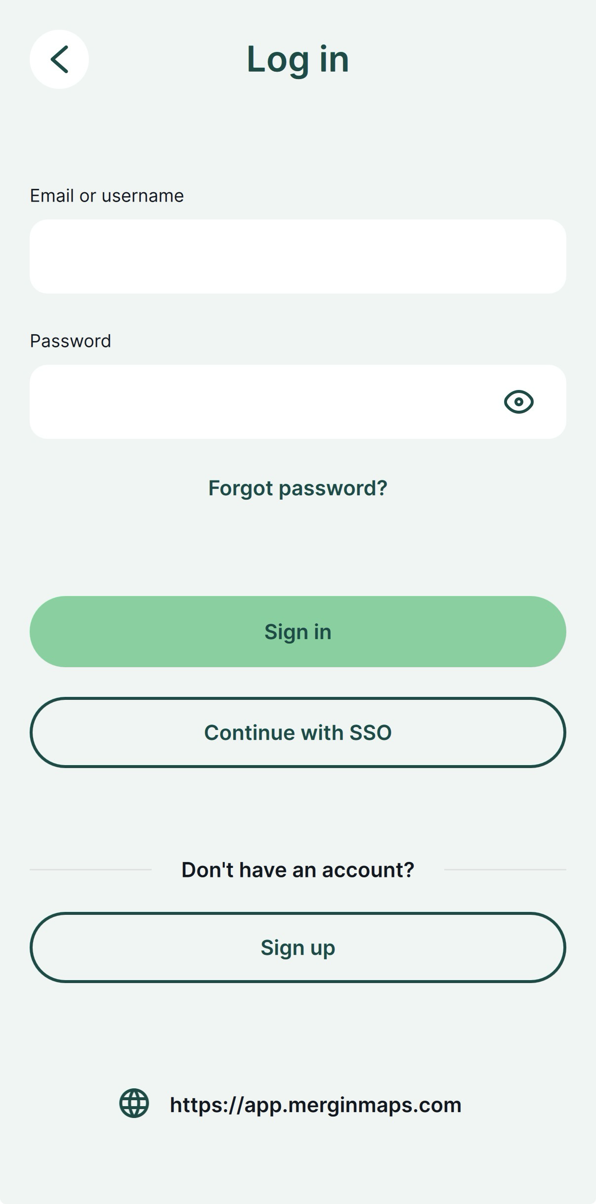
Aprire l'app Mergin Maps e creare un account, se non ne possiede ancora uno, per accedere all'app.
-
Aprire o creare un nuovo progetto.
-
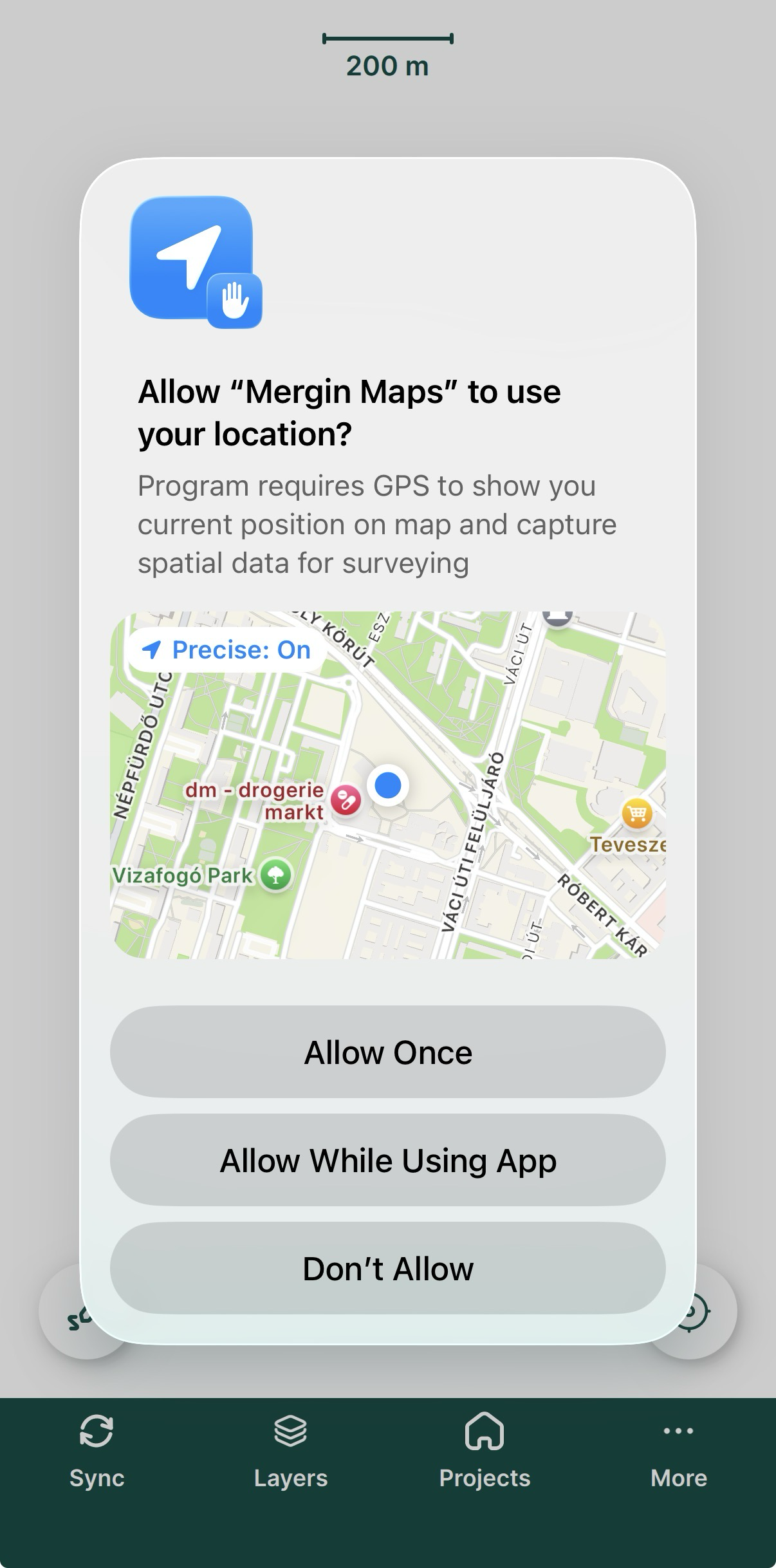
Se richiesto, consentire la localizzazione precisa.
-
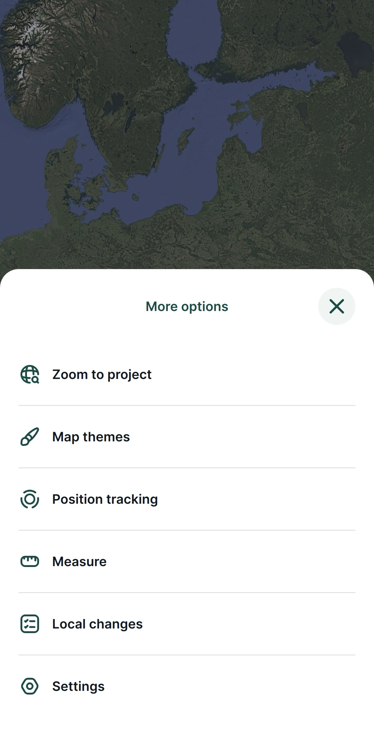
Nella schermata aperta, nell'angolo in basso a destra, toccare More (Altro) e Settings (Impostazioni).
-
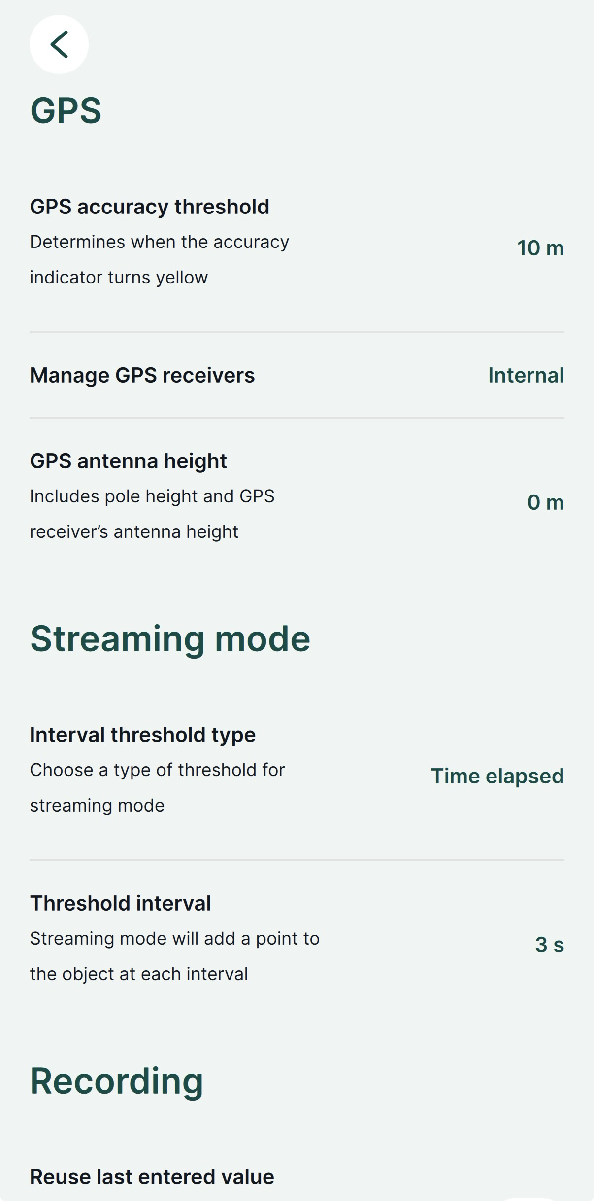
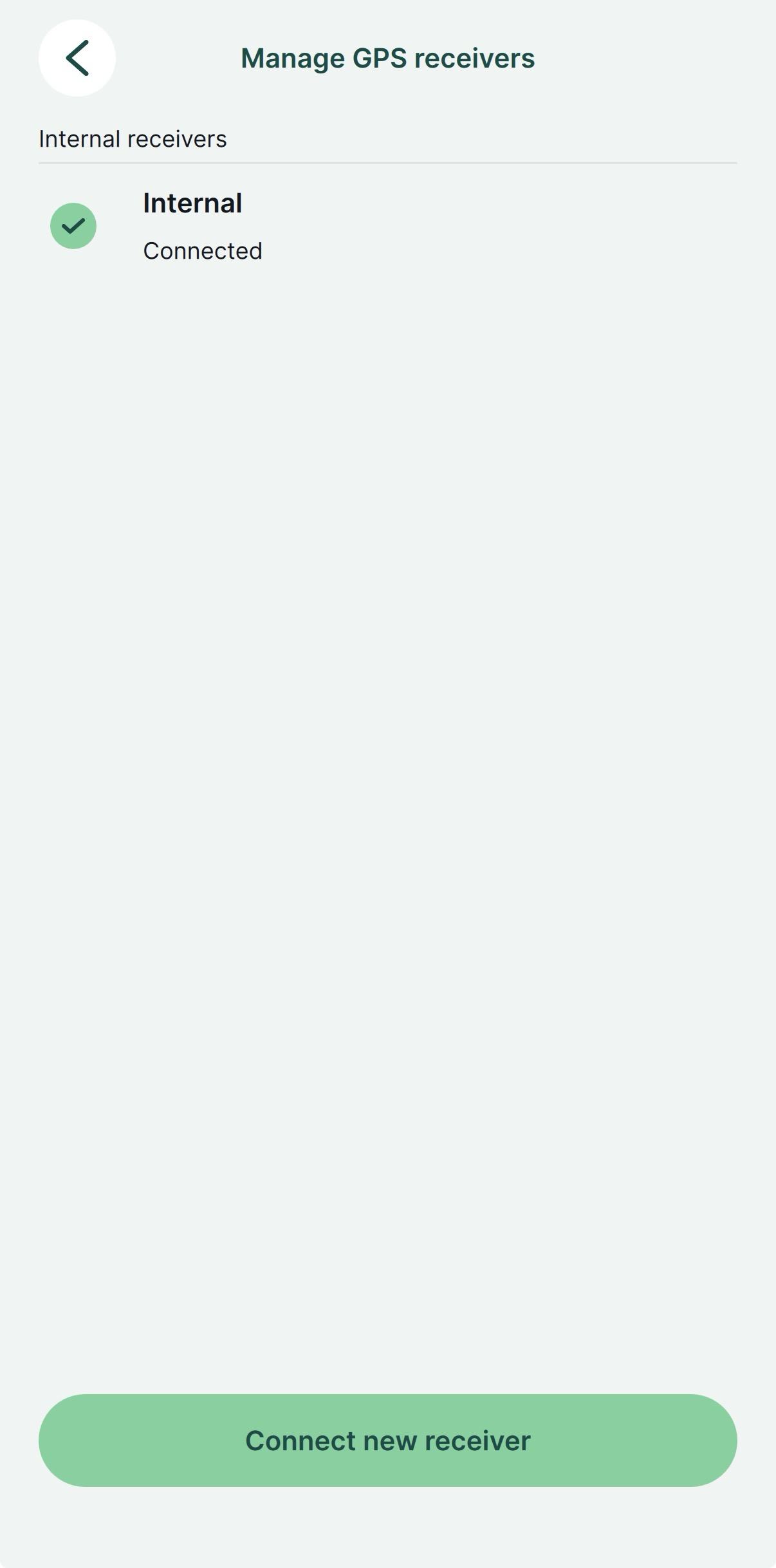
In Settings (Impostazioni), toccare Select GPS receiver (Seleziona ricevitore GPS).
-
Scegliere Internal (Interno).
-
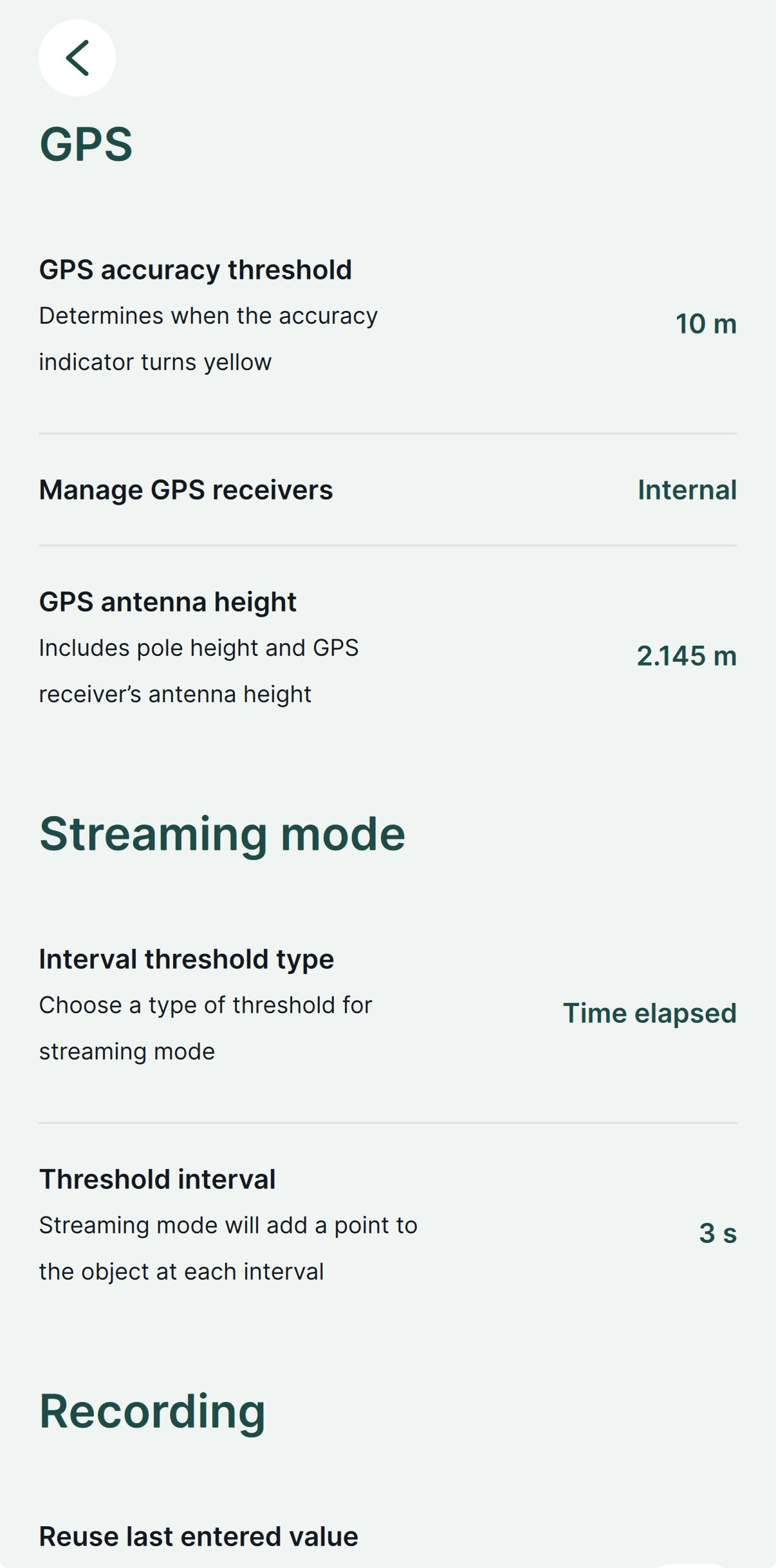
Questo passaggio è richiesto solo quando non si trasmette una posizione NMEA compensata. Tornare a Settings (Impostazioni) e impostare l'altezza dell'antenna. Per il Reach RX, l'altezza dell'antenna è la distanza dal contrassegno a terra al punto centrale della base del Reach, il punto di riferimento dell'antenna (ARP), più l'altezza del ricevitore al centro di fase dell'antenna (APC), ovvero l'offset dell'altezza dell'antenna. L'offset dell'altezza dell'antenna è pari a 145 mm.
-
Andare alla scheda GPS e controllare lo stato RTK e la precisione sulla mappa. Per controllare le informazioni GPS dettagliate, andare su Emlid Flow.
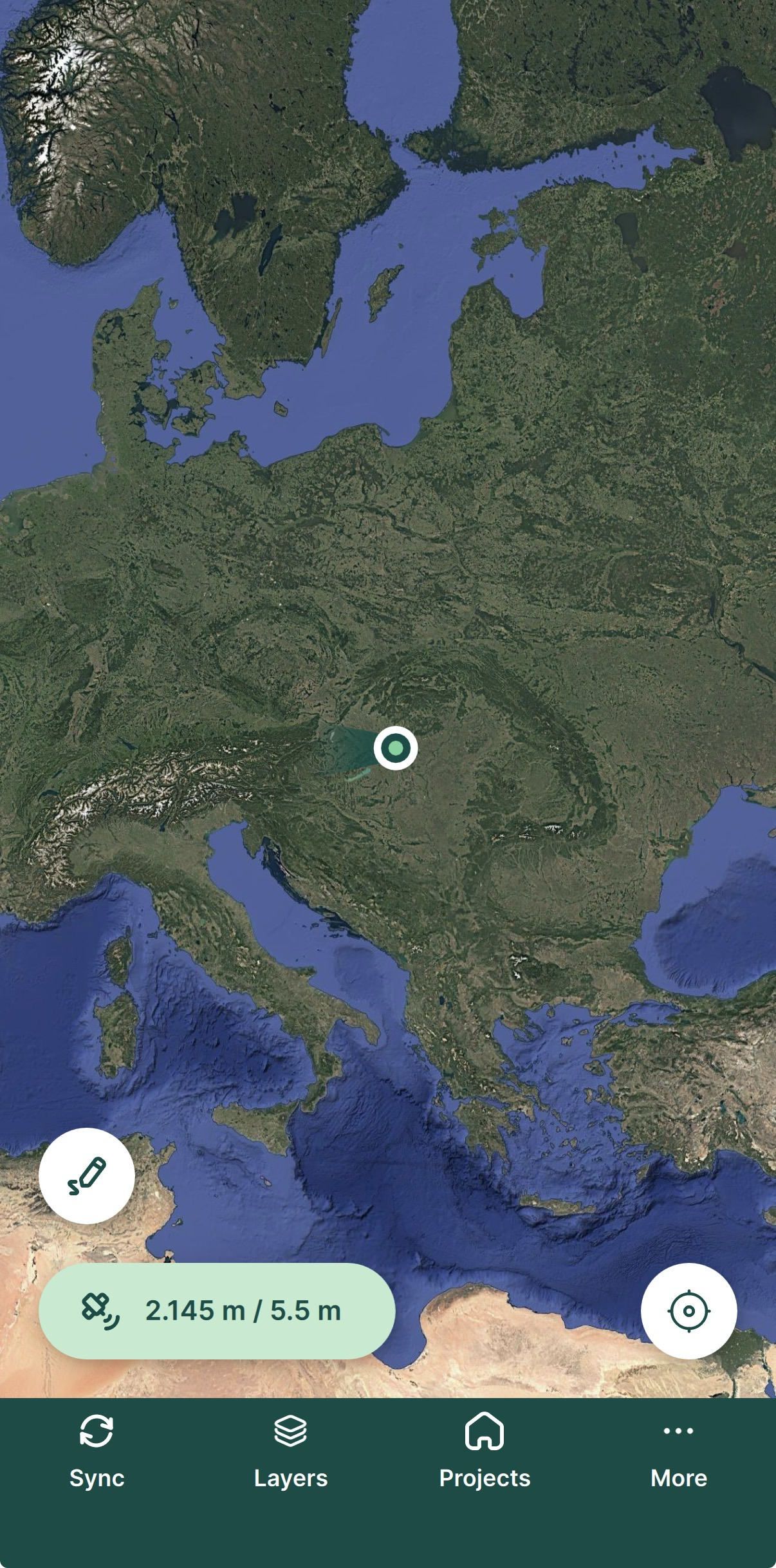
Reach RX è ora configurato correttamente con Mergin Maps. Ora è possibile utilizzare Reach per i rilievi in Mergin Maps.