Integration of Reach RX with Mergin Maps for iOS
This tutorial provides step-by-step instructions on how to integrate your Reach RX with Mergin Maps for iOS.
Overview
Mergin Maps is a mobile app for iOS devices that allows you to collect, share, and publish geodata and collaborate with teams using instant sync with QGIS.
Reach works with Mergin Maps on iOS through Internal GPS. Once Reach is paired with your iPhone via Bluetooth Classic, iOS makes the Reach position available to Mergin Maps through location services. No TCP or NMEA stream configuration is required.
With Internal GPS, iOS may combine the Reach position with other location data and adjust the reported accuracy. Mergin Maps also doesn’t show the RTK solution status. Use Emlid Flow to monitor the solution status and accuracy.
To integrate your Reach RX with Mergin Maps, you will need the following:
- Reach RX
- A device on iOS
- Mergin Maps mobile app installed on your iOS device
- Mergin Maps account
Workflow
To integrate your Reach RX with Mergin Maps follow the steps below.
Configuring corrections in Emlid Flow
Reach RX uses Bluetooth and streams its position in the NMEA format by default. No pre-configuration is needed.
For more information on how to receive corrections on your Reach RX, refer to the Quickstart section.
To achieve centimeter-level accuracy when surveying with Reach RX, set up your receiver to receive NTRIP corrections in the Emlid Flow app. Do as follows:
-
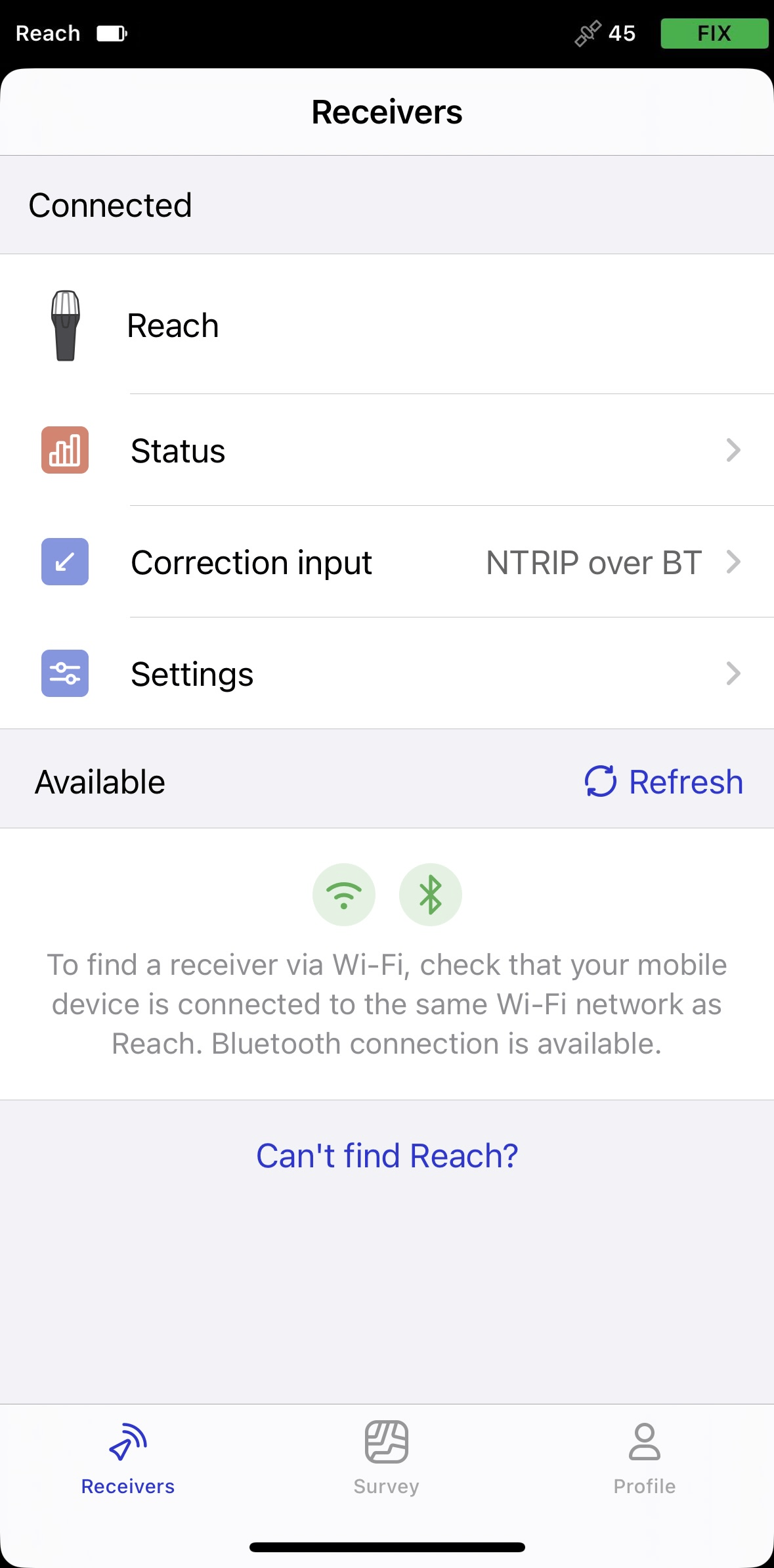
Open Emlid Flow and connect to your Reach.
-
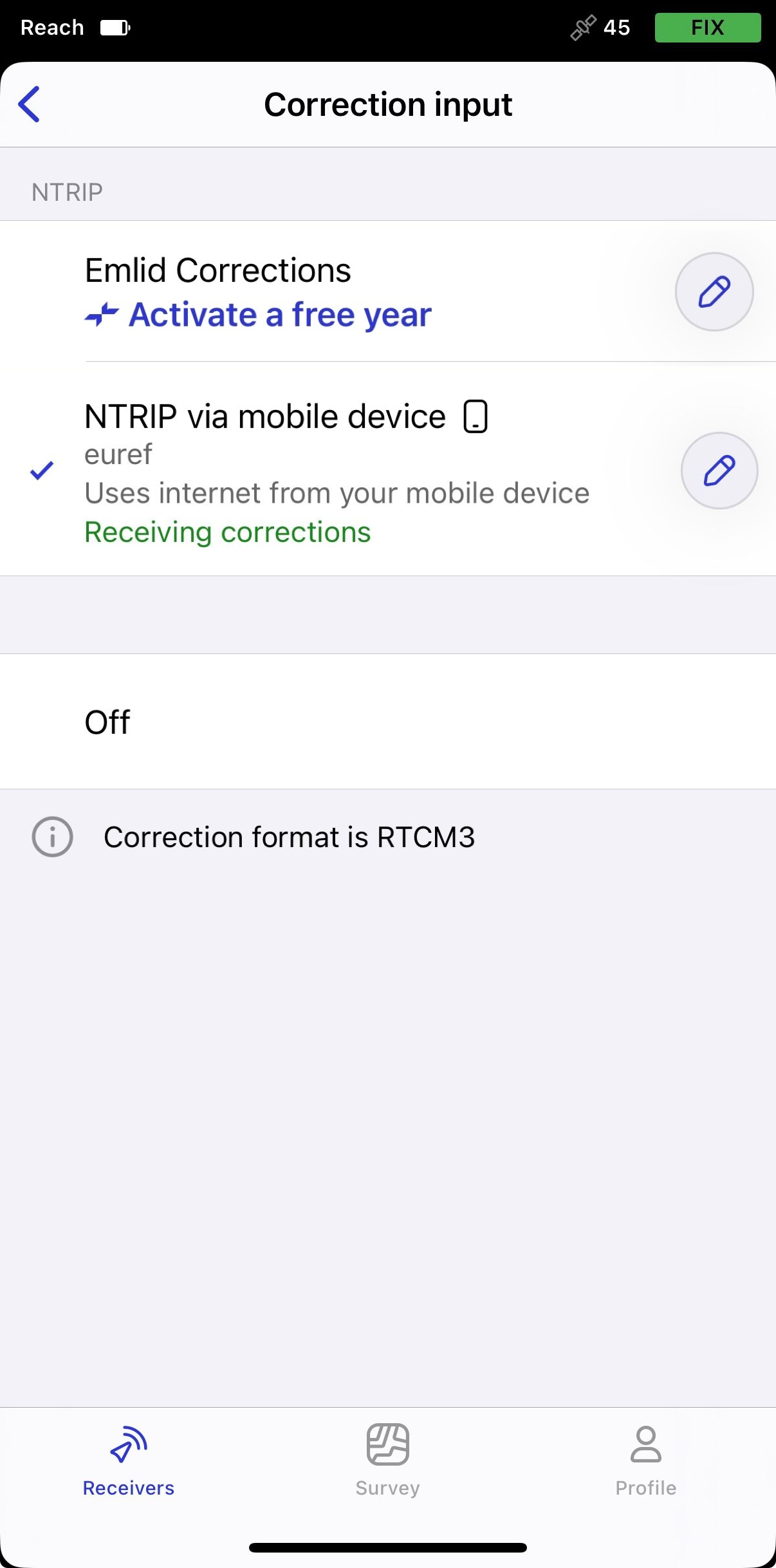
Go to Correction input and tap NTRIP over mobile device.
-
Tap the Edit button to configure receiving corrections from the NTRIP base.
noteTo start receiving corrections, make sure that your receiver has satellite visibility.
By default, Reach RX automatically streams the standard NMEA messages set. In this case, you need to set up your Reach receiver’s antenna height in your third-party software.
Paring Reach RX and iOS device
To pair your Reach RX with Mergin Maps, first, you need to pair it with the iOS device as follows:
-
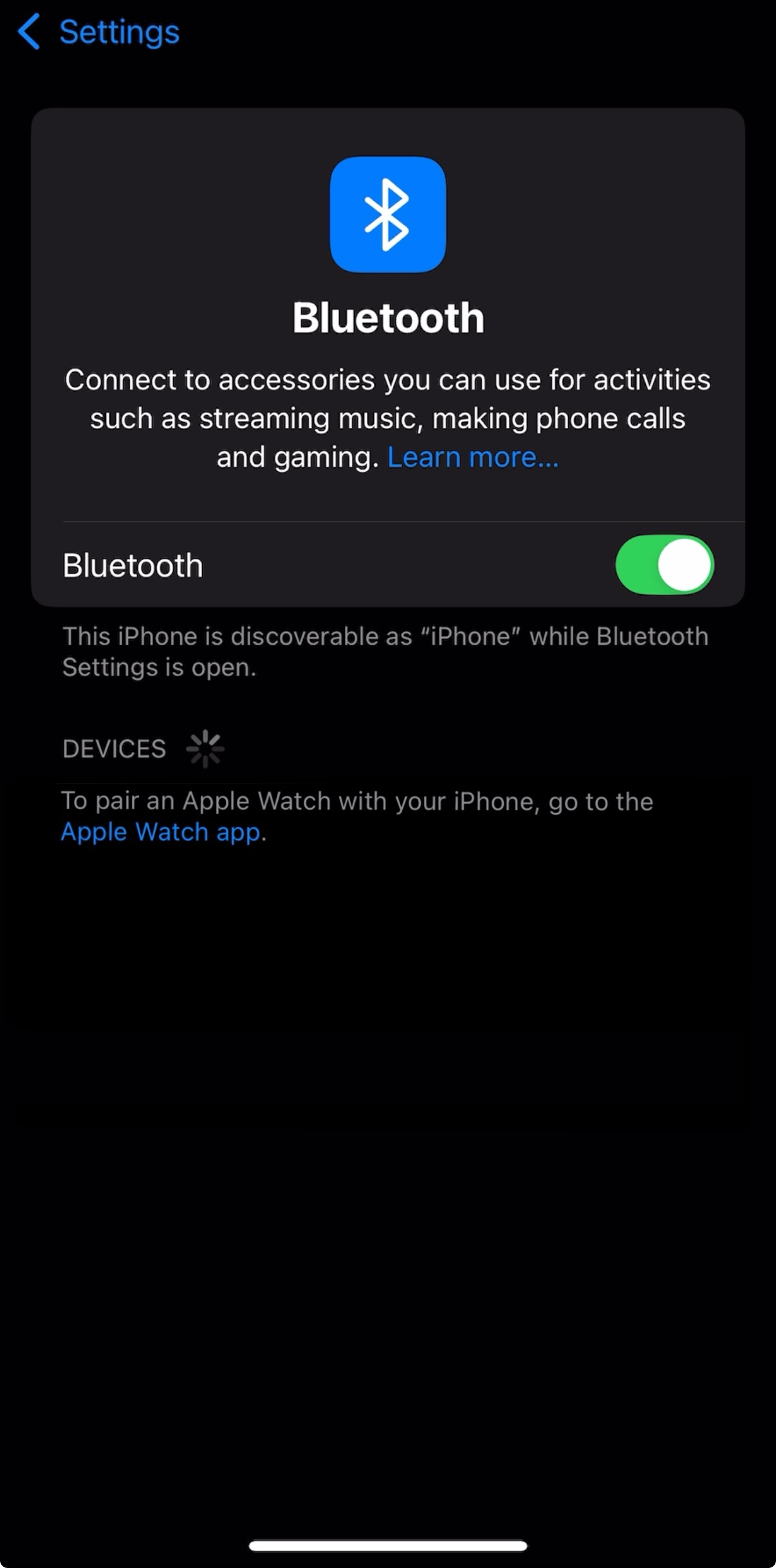
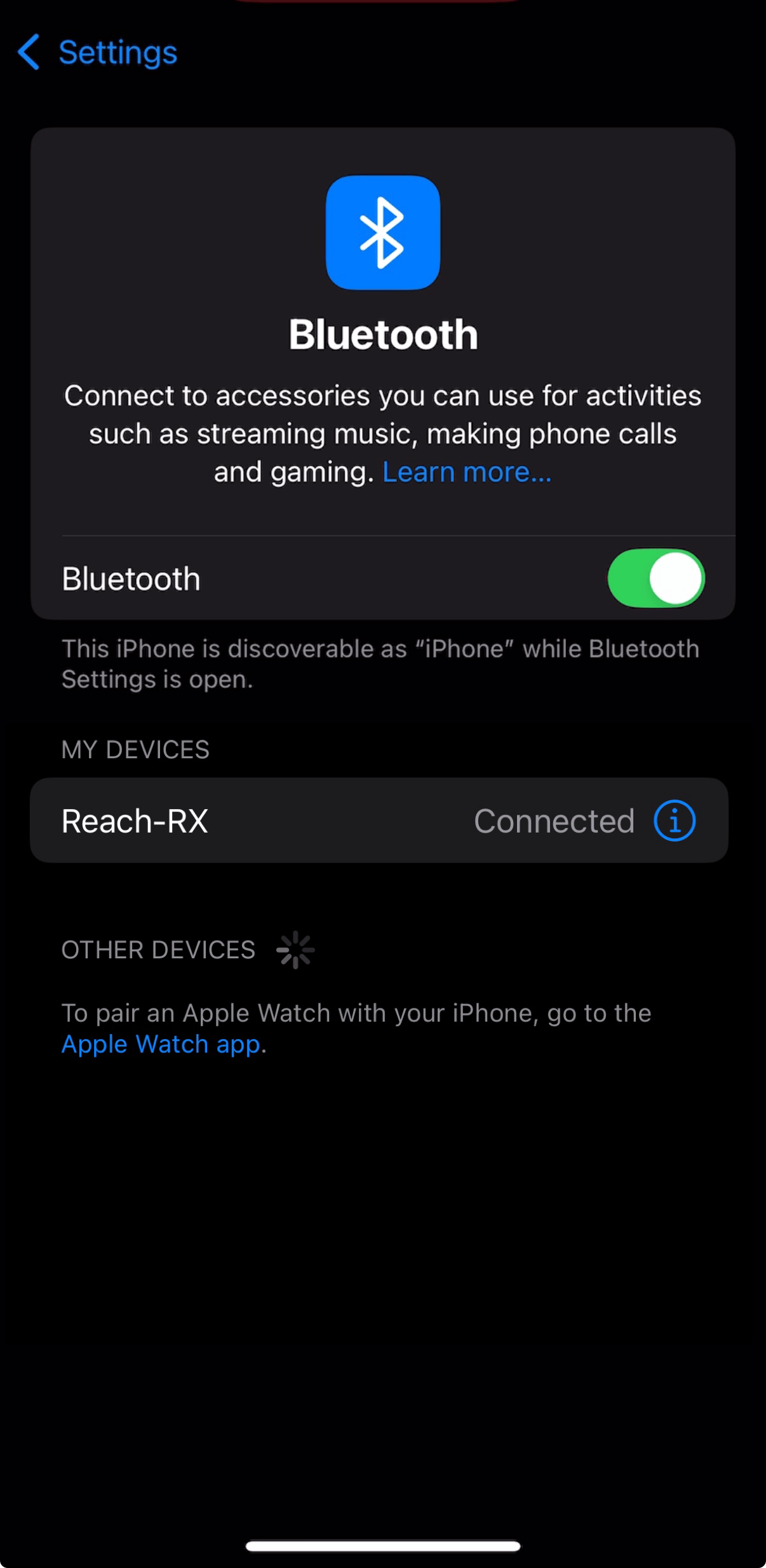
Navigate to the Bluetooth configuration screen on your iOS device and enable Bluetooth.
-
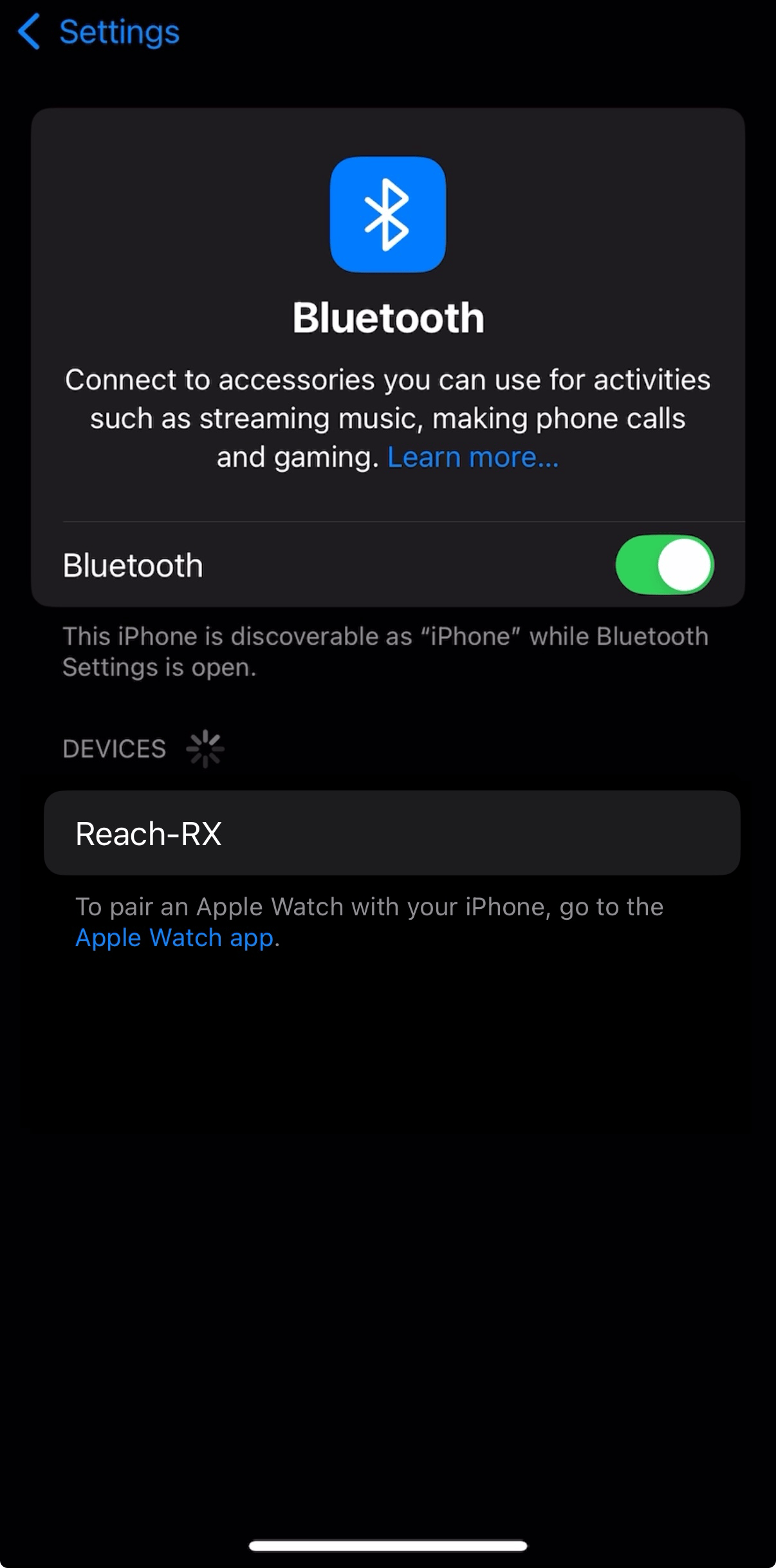
Wait for your Reach RX to be listed as an available device.
noteKeep Reach within a few meters from the device.
-
Tap the name of your Reach in the list of available devices on the iOS device. You should see the note "Connected".
noteIf your device requires a PIN code, enter 123456.
Configuring communication between Mergin Maps and Reach RX on iOS
-
Open the Mergin Maps app and create an account if you don’t have one yet to access the app.
-
Open or create a new project.
-
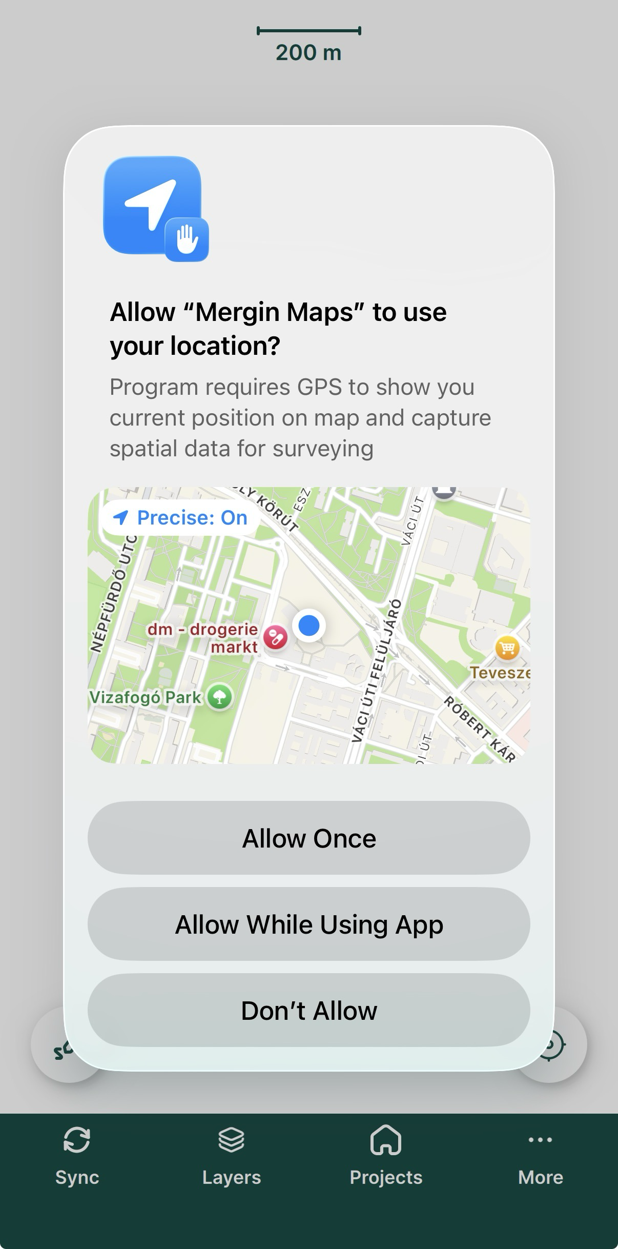
If prompted, allow precise location.
-
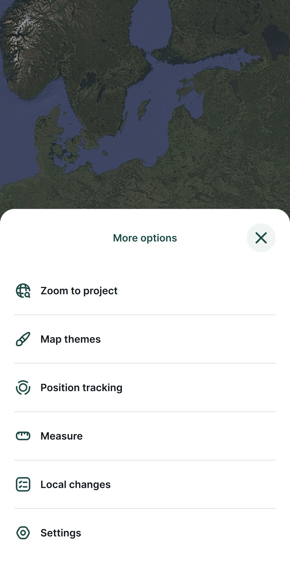
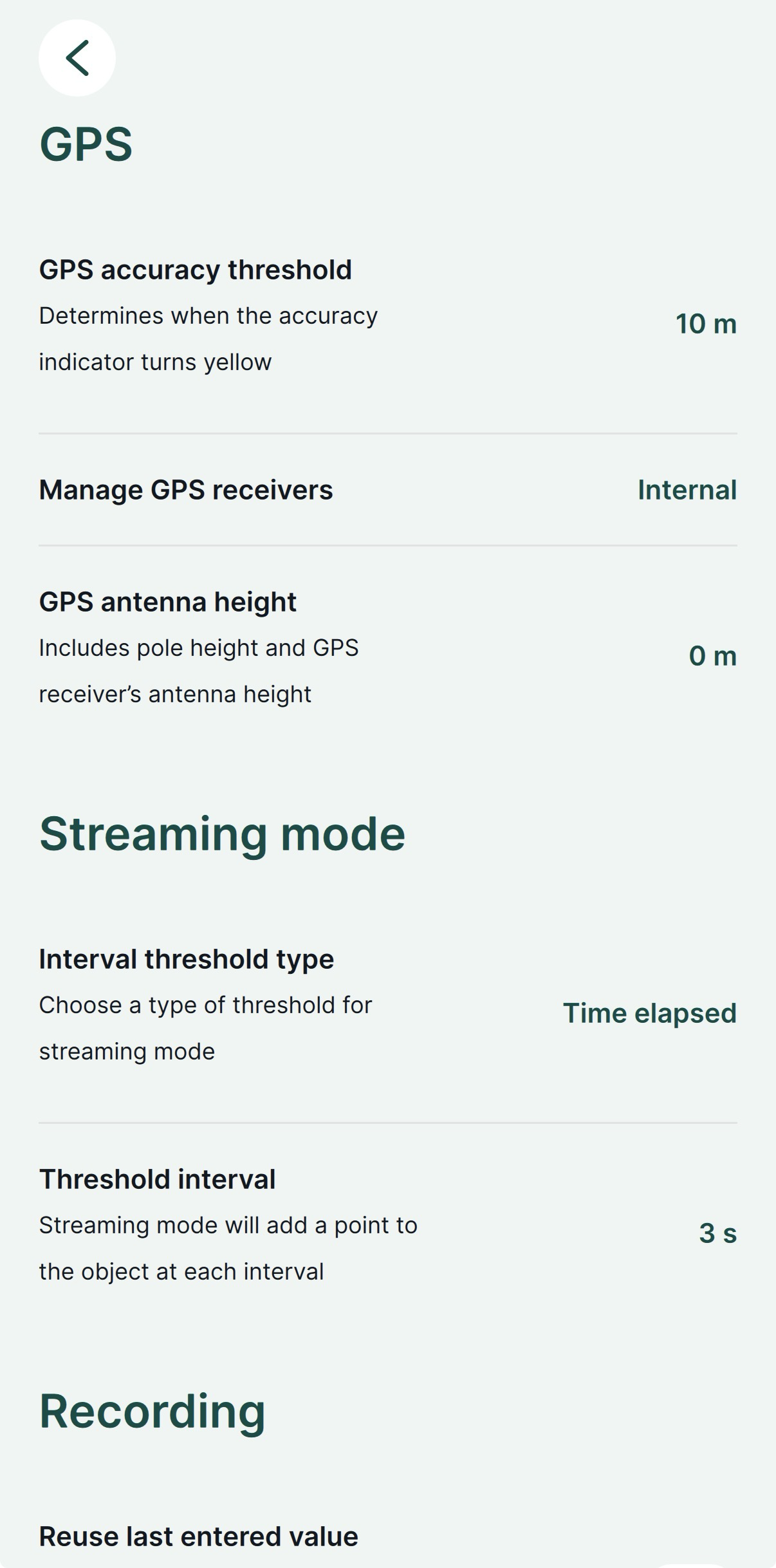
On the opened screen in the lower right corner, tap More and Settings.
-
In Settings, tap Select GPS receiver.
-
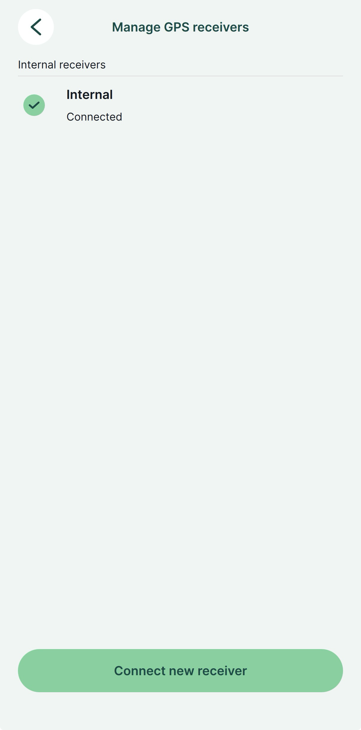
Choose Internal.
-
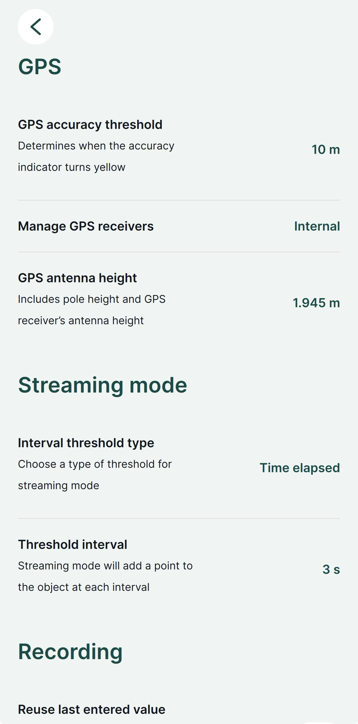
Go back to Settings and set the antenna height. For Reach RX, the antenna height is the distance from the mark on the ground to the center point on the Reach’s bottom, antenna reference point (ARP), plus the height of the receiver to the antenna phase center (APC), antenna height offset. The antenna height offset equals to 145 mm.
-
Go to the GPS tab and check the RTK status and accuracy on the map. To check the detailed GPS info, go to Emlid Flow.
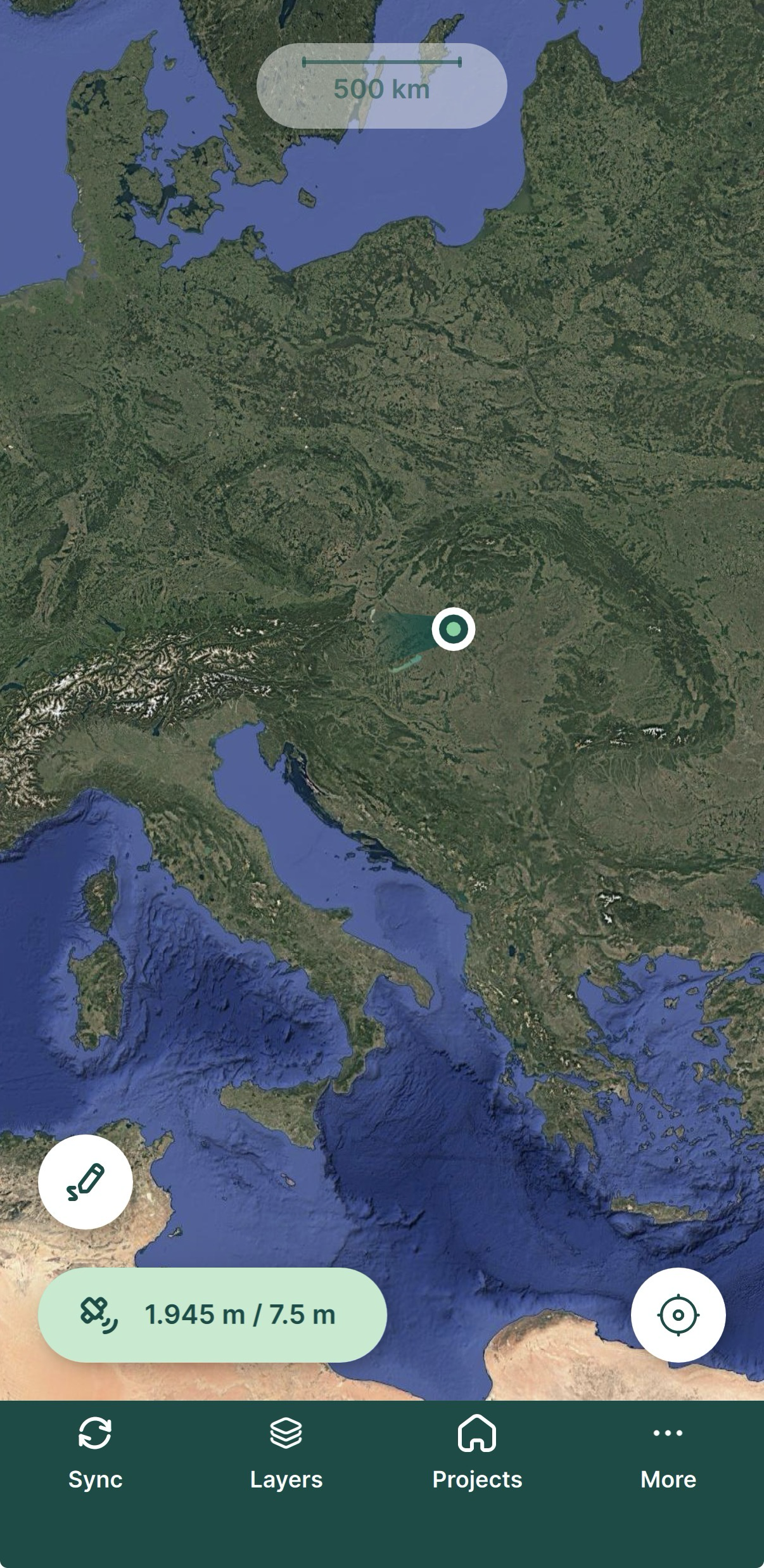
You have successfully set up your Reach RX with Mergin Maps. You can now use Reach for surveying in Mergin Maps.