Edit coordinate system from library
This guide shows you how to edit and change your existing
Coordinate system is a coordinate-based local, regional or global system used to locate geographical entities. A spatial reference system defines a specific map projection, as well as transformations between different spatial reference systems.
Overview
Editing the coordinate system in Emlid Flow 360 lets you change the coordinate system of your project. When you change the coordinate system, Emlid Flow 360 recalculates all existing points and applies the new coordinate system to future measurements, so your project stays aligned with the correct reference frame.
Workflow
To edit your
Coordinate system is a coordinate-based local, regional or global system used to locate geographical entities. A spatial reference system defines a specific map projection, as well as transformations between different spatial reference systems.
-
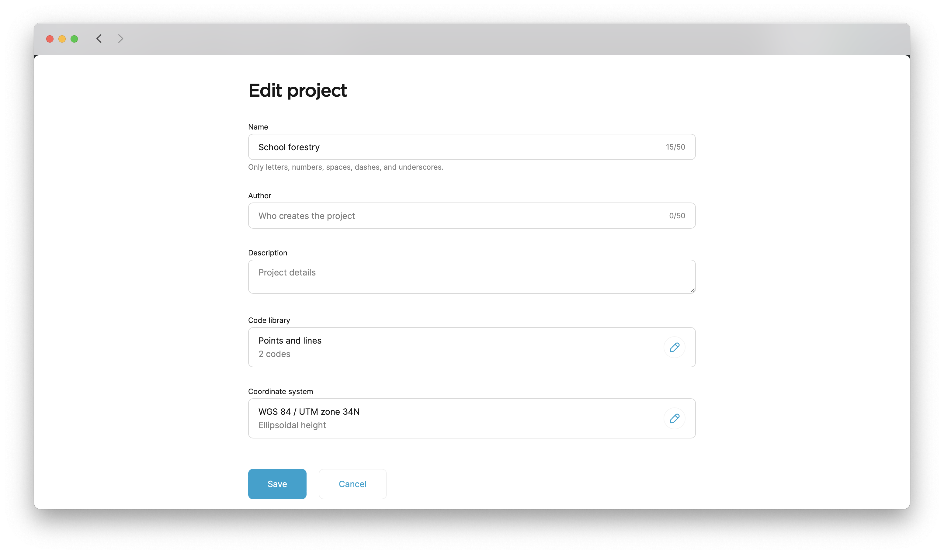
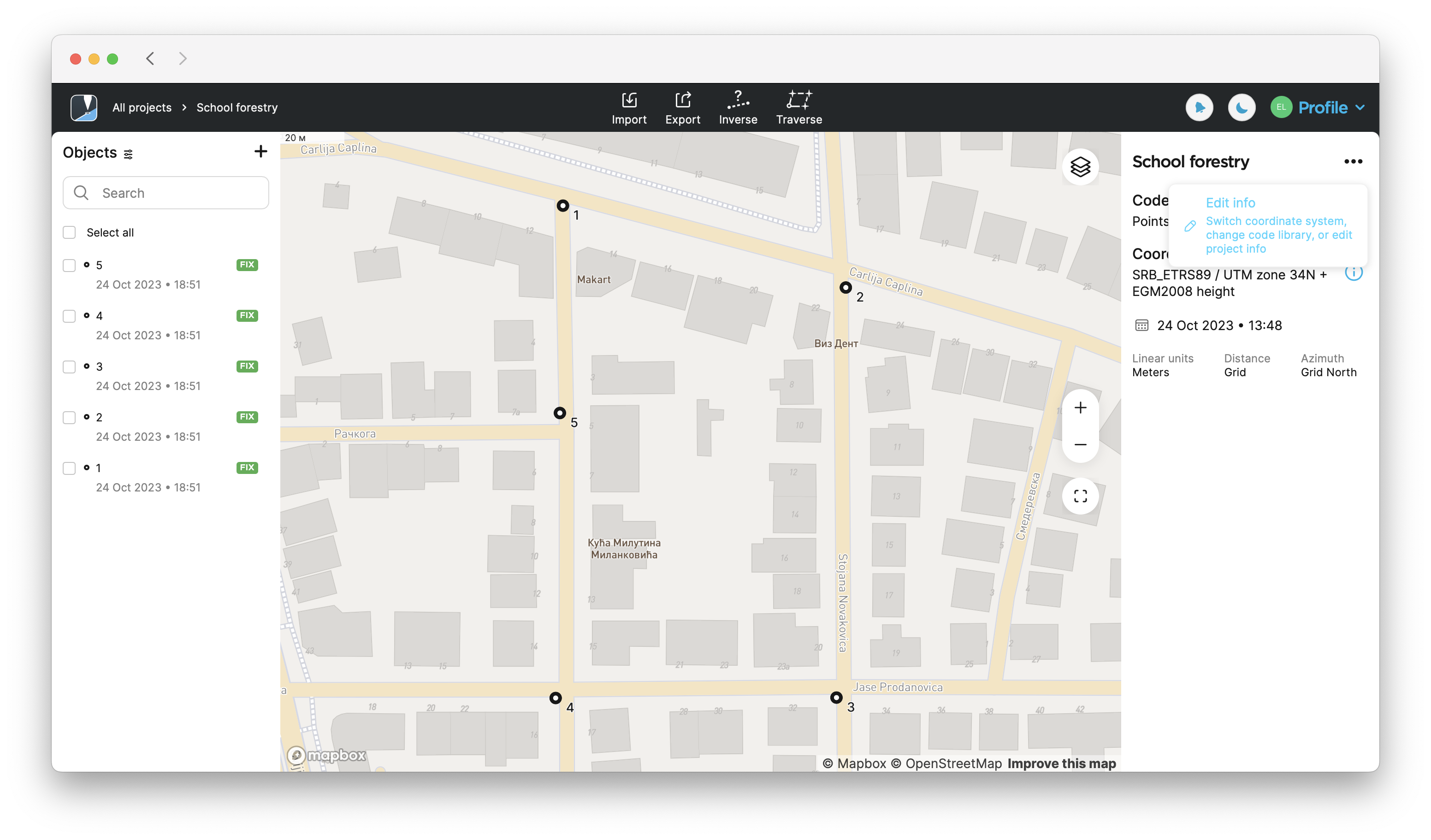
Open the project in Emlid Flow 360.
-
Tap the three-dot button in the upper-right corner, then tap Edit info.
-
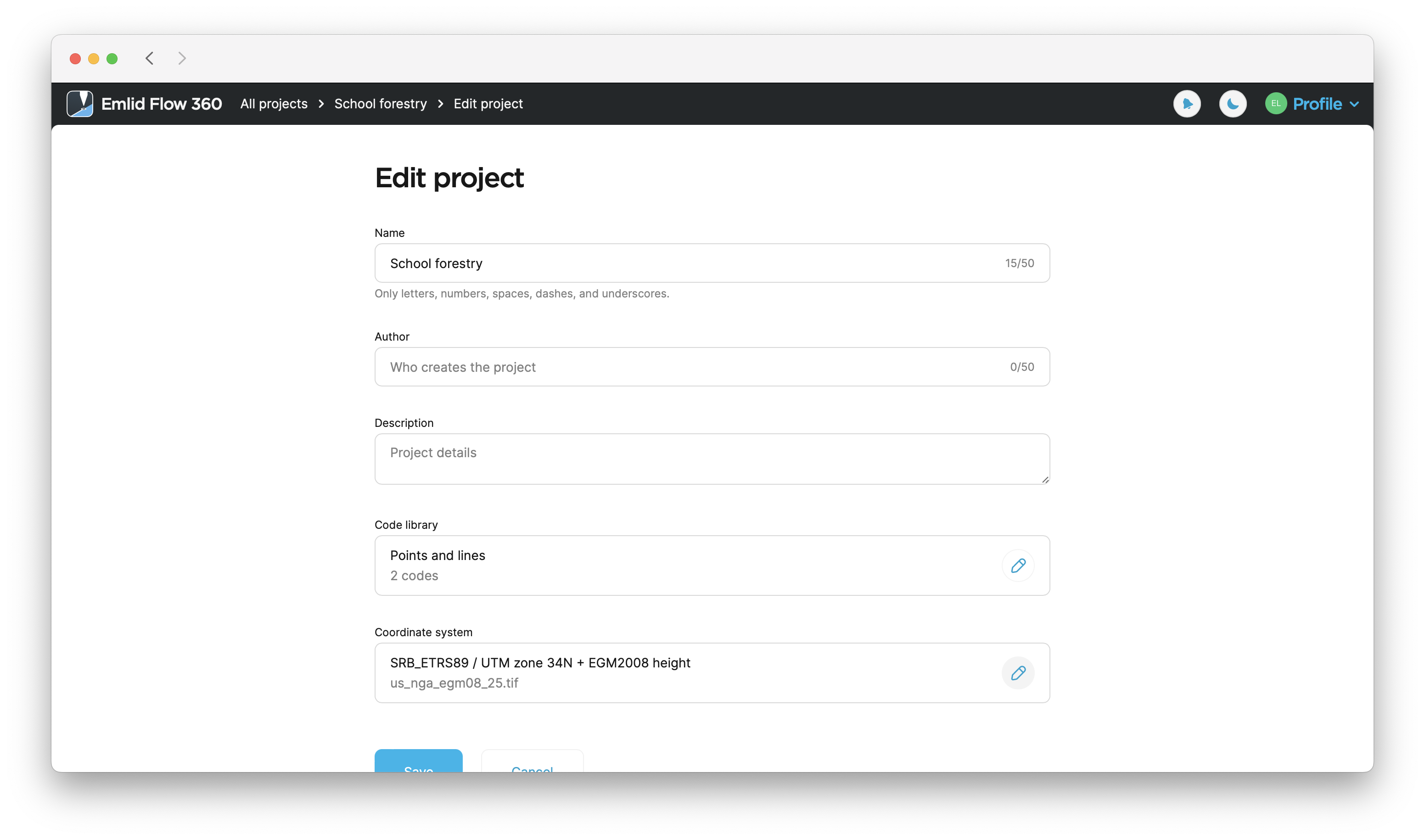
Tap the Edit button in the Coordinate system section.
-
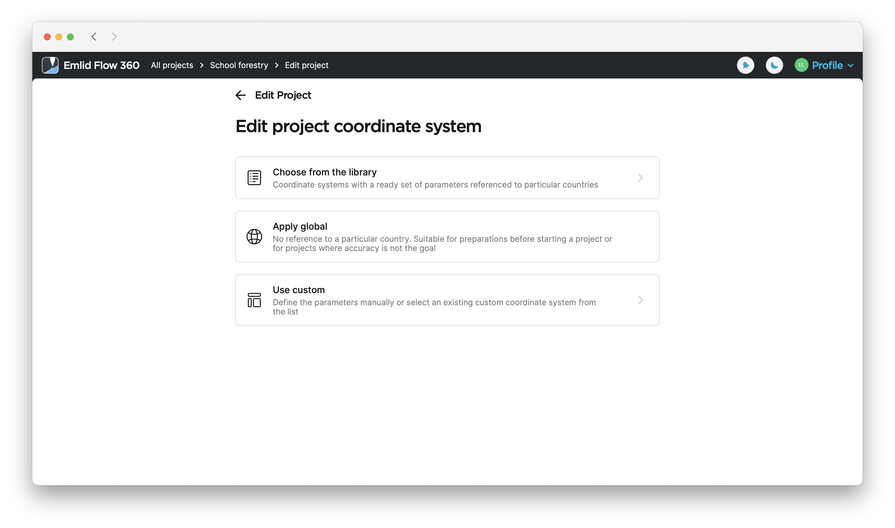
Select a suitable option to set a new CS.
-
After you’ve selected the new CS, tap Save to apply the changes.