Create lines from existing points
Unlock the full set of features for topo, set-out, and as-built surveys
This guide explains how to create a line from existing points in your project in the Emlid Flow app.
Overview
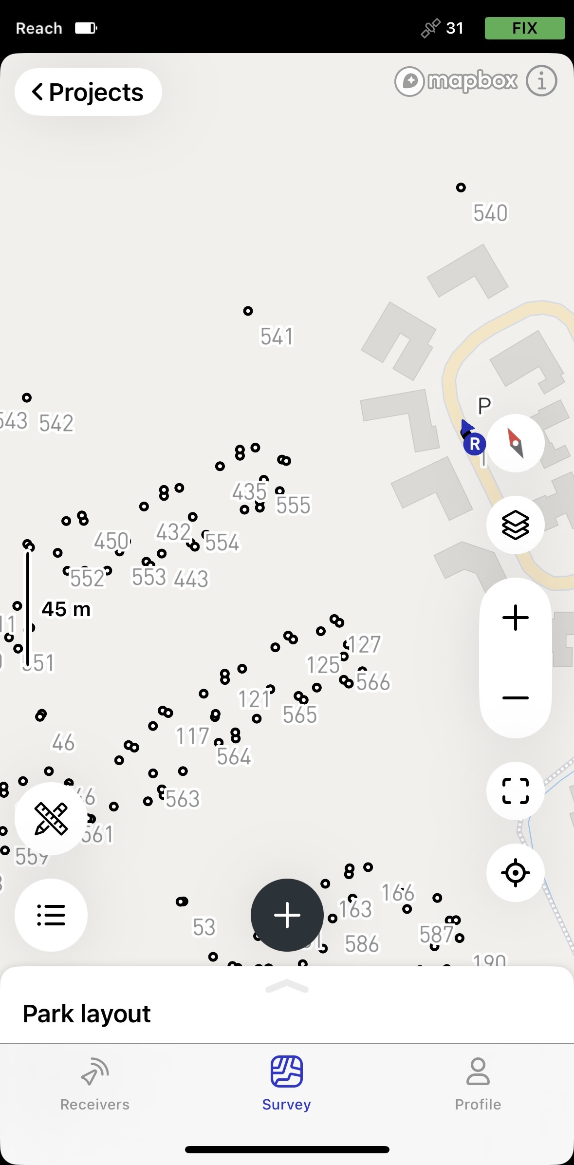
Emlid Flow allows you to create lines from existing points. With this feature, you can create and stake out linear objects like fences, roads, and buildings with as many points as you need for further use in GIS or CAD software.
In the Emlid Flow app, you can see the 3D length of your line.
Workflow
To create a new line from existing points, follow the steps below:
-
Go to the Survey tab.
-
Open the project you want to work with.
-
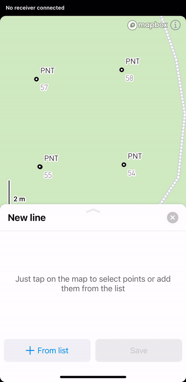
Open the list of Objects, tap the + button at the top, and select Add line or polygon from the drop-down menu.

-
Select points on the map or from the list to add them to the line.
 tip
tipYou can change the order of the points by dragging them.
-
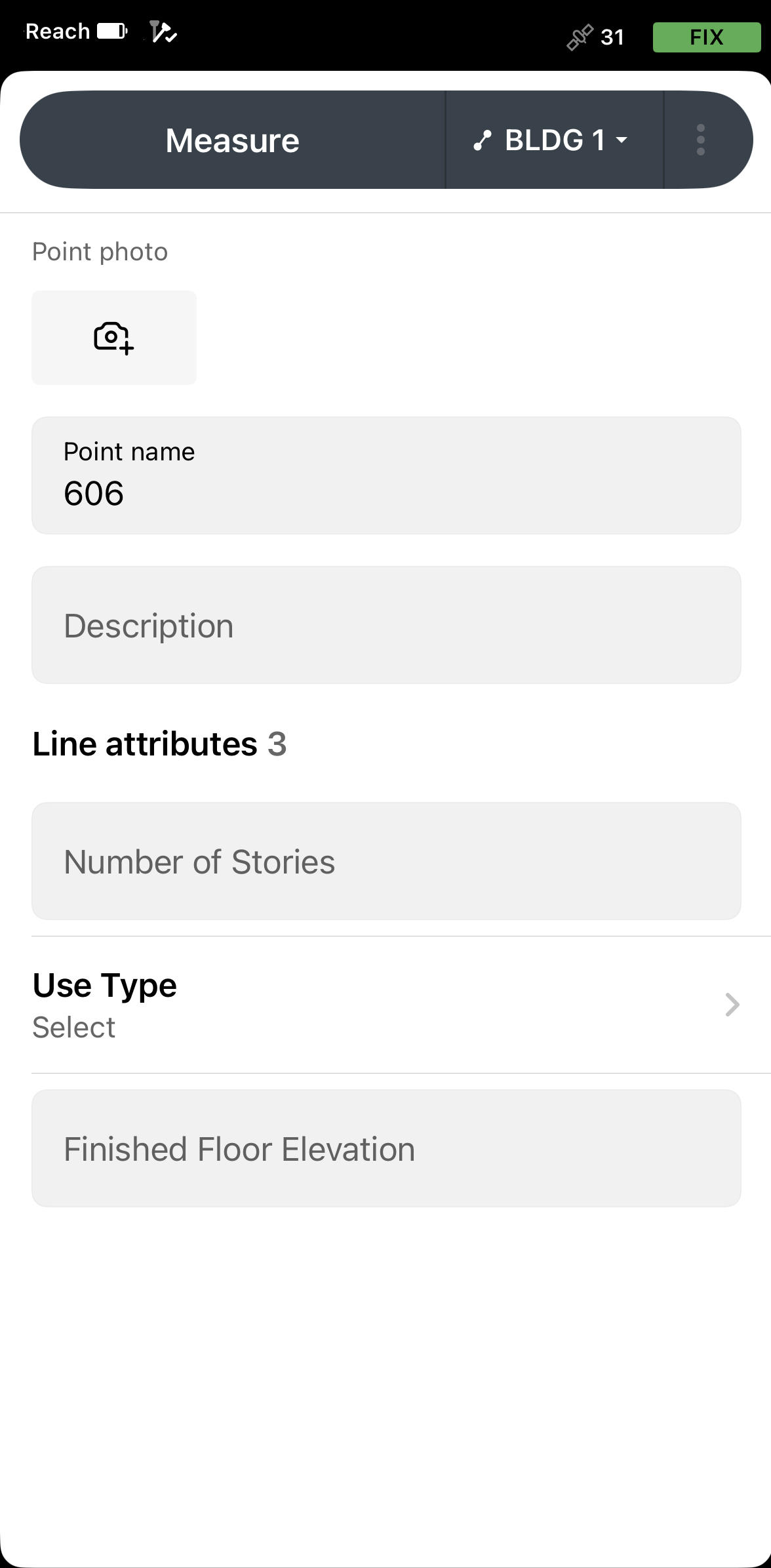
With the Pro plan, you can add a survey code with description and attributes by tapping the Code selector button. Choose a code from the library and enter the associated attributes, if required.
-
Tap Save to create a line. After you create a new line, it appears in the list of objects.
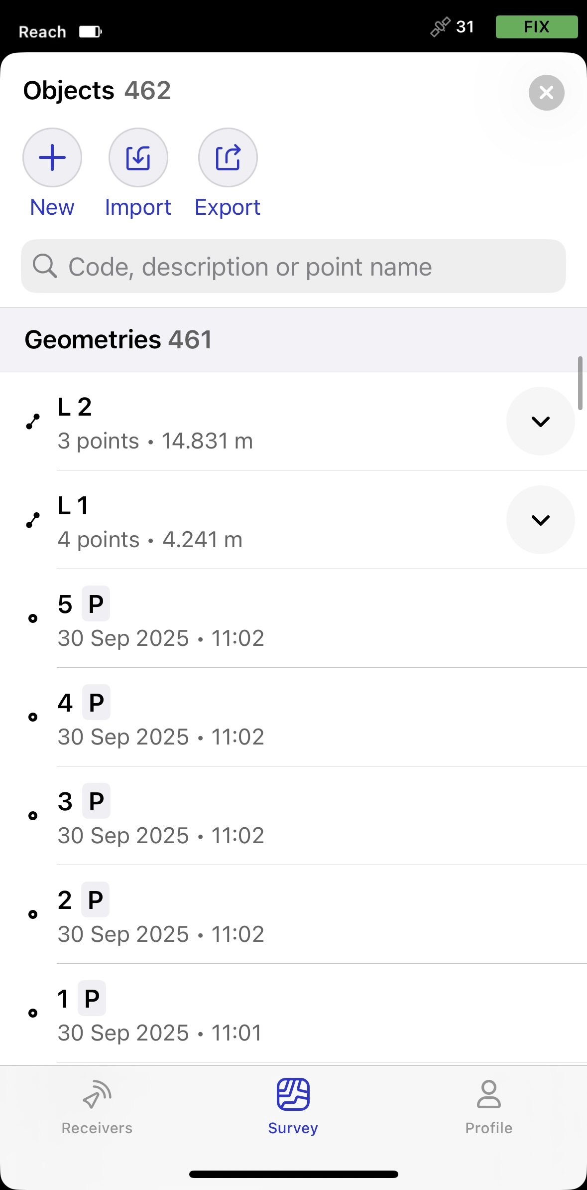
Now you can add new lines or keep working with the line you've just created.