Working with codes
Unlock the full set of features for topo, set-out, and as-built surveys
This guide describes how to work with survey codes to ease your work with survey projects in third-party GIS software.
Overview
Emlid Flow allows you to survey with 2 types of code geometry: point and line. Point codes are used to collect single-standing objects like trees and road signs. Line codes are used to collect linear objects such as fences and walls.
Surveying with codes
- Emlid Flow
The typical workflow of surveying with codes in Emlid Flow is the following:
-
In your project, open the Collector menu.

-
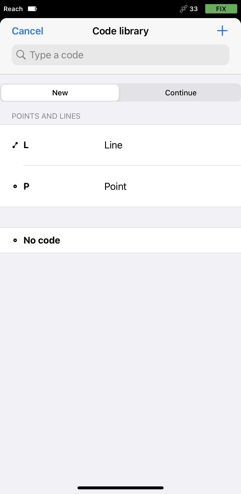
Tap the Code selector button to open the Code library screen. Here you can see the list of codes linked to your project.
-
Select the code you need.
-
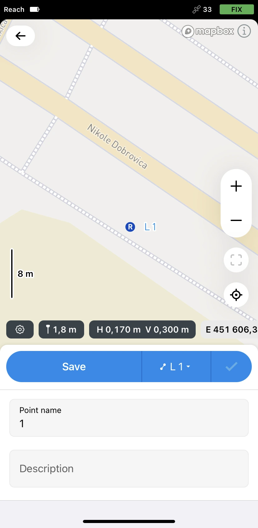
Start data collection.
tipFor a more detailed workflow, check the collect points and collect lines guides.
Creating codes on the go in Emlid Flow
Sometimes, there might be a situation when a code library doesn't have the required code. Emlid Flow allows you to create survey codes in the field.
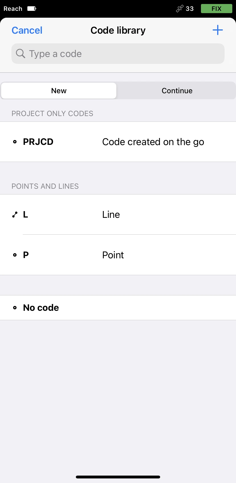
Codes created on the go are stored only in the project in which they were created.
To create a survey code on the go in Emlid Flow, follow the steps below:
-
Open Emlid Flow and connect to your Reach.
-
Open or create a project.
tipTo learn how to create a project, check the Create or import project guide.
-
In Collector, tap the Code selector button.
-
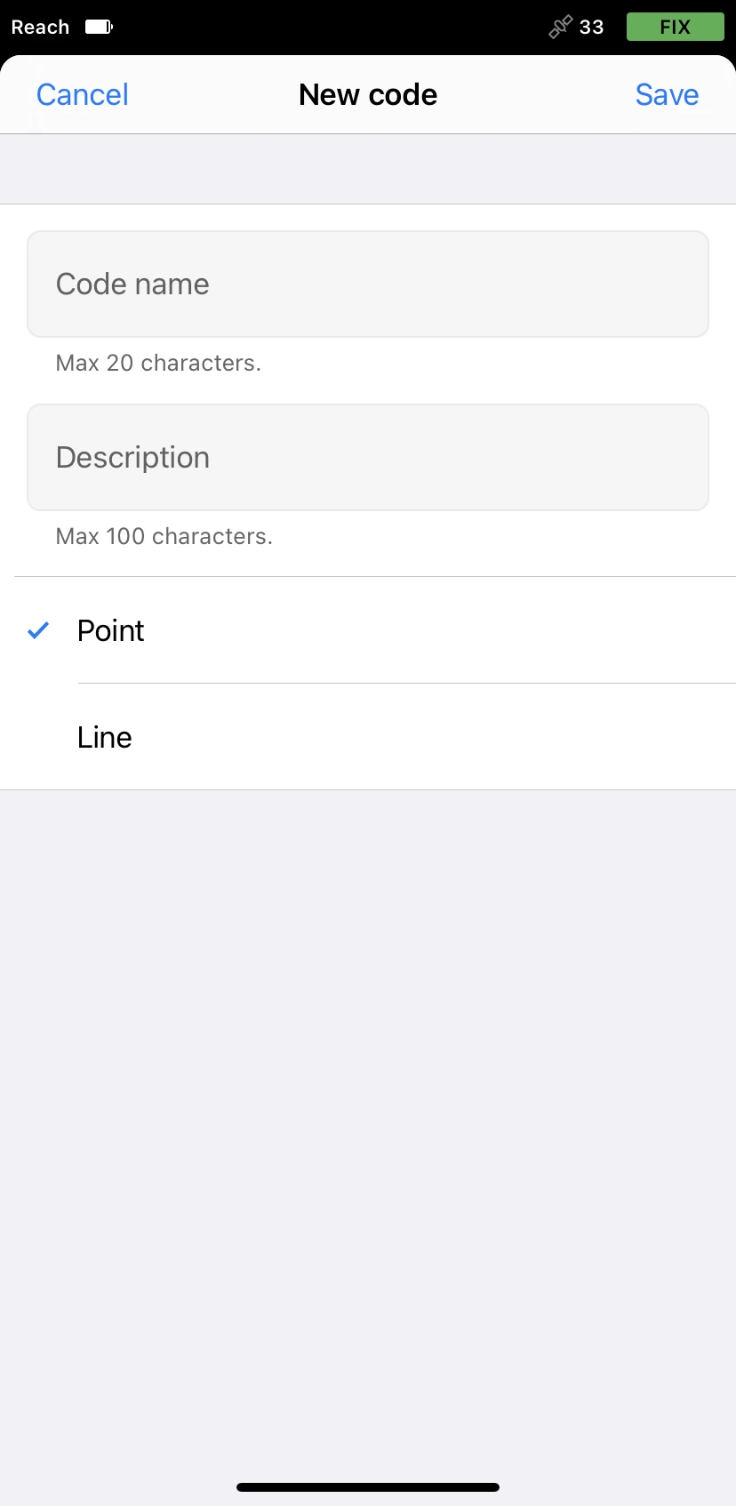
Tap the Plus button in the top right corner.
-
Fill in the fields and select code geometry type. Tap Save.
The created code will appear in your code library.
You can continue creating codes on the go in Emlid Flow and continue your survey.