Aperçu des configurations PPK
Le PPK (Post-Processed Kinematic) est une technique de positionnement GNSS qui offre une exactitude au niveau centimétrique en traitant les observations par satellite après la fin de l'arpentage.
Comme le RTK, le PPK utilise deux récepteurs :
- une station de base fixe,
- un rover mobile.
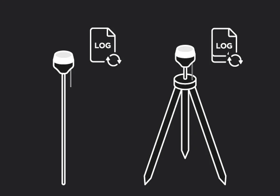
La station de base effectue l'enregistrement des observations brutes par satellite à un emplacement connu, tandis que le rover effectue l'enregistrement des observations en se déplaçant dans la zone d'arpentage. Une fois le travail sur le terrain terminé, les observations des deux récepteurs sont combinées lors du post-traitement pour calculer les positions précises du rover.
Contrairement au RTK, le PPK ne nécessite pas de liaison de communication en temps réel entre la station de base et le rover. Cela le rend particulièrement utile dans les zones où la couverture cellulaire est faible, la communication radio peu fiable, ou dans les environnements où le maintien d'un lien de correction continu est difficile.
Selon votre flux de travail d'arpentage et le résultat souhaité, vous pouvez traiter les données GNSS de plusieurs manières :
- Traitement cinématique : calculez une trajectoire précise du rover à partir des données brutes GNSS enregistrées par la station de base et le rover, sans lien de correction en temps réel.
- Cartographie par drone PPK : calculez des positions précises pour les images capturées pendant un vol de drone et effectuez leur géolocalisation pour un traitement ultérieur dans un logiciel de photogrammétrie.
- Cartographie par drone RTK : récupérez des géolocalisations précises pour un drone compatible RTK en post-traitant ses données brutes GNSS enregistrées avec une station de base Reach locale, lorsque les corrections RTK ont été perdues ou dégradées pendant le vol.
- Stop & Go avec Emlid Flow : améliorez les coordonnées des points collectés dans Emlid Flow sans lien de correction en temps réel en post-traitant les données GNSS enregistrées.
La section ci-dessous explique chaque flux de travail et quand l'utiliser.
Pour traiter les données collectées, vous avez besoin d'un logiciel de post-traitement. Emlid Studio est notre application de bureau gratuite pour le post-traitement des données GNSS provenant des récepteurs GNSS et des drones PPK/RTK. Il est disponible pour Windows et macOS et prend en charge tous les flux de travail décrits dans ce guide.
| Windows (v10 64 bits et versions ultérieures) | macOS (v10.14 et ultérieur) |
|---|---|
| Télécharger Emlid Studio | Télécharger Emlid Studio |
Pour en savoir plus sur le positionnement PPK, consultez notre article de blog :
Découvrez comment fonctionne le PPK et comment il offre une exactitude au niveau centimétrique sans lien de correction en temps réel.
Configurations PPK
La mise en place PPK dépend de ce que vous arpentez et de l'équipement que vous utilisez. Voici les scénarios de terrain les plus courants :
Traitement cinématique
Avec le traitement cinématique, vous effectuez l'enregistrement des données brutes GNSS sur la station de base et le rover, puis calculez une trajectoire précise du rover lors du post-traitement dans Emlid Studio. Comme ce flux de travail ne nécessite pas de lien de correction en temps réel, il est utile lorsque la communication radio est peu fiable ou qu'une connexion NTRIP est indisponible en raison d'un accès internet limité.
Le traitement cinématique peut également servir de solution de secours pour un arpentage RTK. En effectuant l'enregistrement des données brutes sur la station de base et le rover pendant le travail sur le terrain, vous pouvez post-traiter les données plus tard si les corrections en temps réel sont interrompues ou indisponibles.
Découvrez comment effectuer l'enregistrement des journaux PPK, puis traitez les données avec le flux de travail Traitement cinématique dans Emlid Studio.
Cartographie par drone PPK
Un module Reach M2 ou M+ sur le drone effectue l'enregistrement des observations brutes GNSS et l'horodatage de chaque photo. Une station de base Reach locale effectue l'enregistrement des journaux enregistrés simultanément. Après le vol, Emlid Studio calcule des positions précises pour chaque photo et les intègre dans les métadonnées EXIF de l'image.
Découvrez comment configurer Reach pour la cartographie, puis traitez les journaux enregistrés avec le flux de travail Traitement des données de drone dans Emlid Studio.
Cartographie par drone RTK
Dans cette configuration, un récepteur Reach fonctionne comme une station de base locale tandis qu'un drone compatible RTK effectue le vol. La station de base et le drone effectuent l'enregistrement des données brutes GNSS, et le drone sauvegarde également un fichier MRK contenant les informations sur les événements d'image. Si les corrections RTK sont perdues ou dégradées pendant le vol, vous pouvez post-traiter les données enregistrées dans Emlid Studio pour calculer des positions précises et récupérer des géolocalisations exactes pour les images capturées.
Découvrez comment effectuer l'enregistrement des journaux PPK sur votre station de base Reach, puis traitez les données avec le flux de travail traitement des données de drone RTK dans Emlid Studio.
Stop & Go avec Emlid Flow
Dans cette configuration, un récepteur Reach fonctionne comme une station de base, tandis qu'un autre est utilisé comme rover pour collecter des points individuels dans Emlid Flow. L'opérateur du rover fait une pause brève à chaque point tandis que les deux récepteurs effectuent l'enregistrement des données brutes GNSS.
Après l'arpentage, Emlid Studio combine les journaux enregistrés de la station de base et du rover avec le fichier CSV exporté depuis Emlid Flow pour calculer des coordonnées précises pour les points collectés. Ce flux de travail est utile pour les arpentages par points de contrôle, la cartographie d'actifs et d'autres arpenntages au sol où les corrections en temps réel ne sont pas disponibles ou ne sont pas nécessaires.
Découvrez comment effectuer l'enregistrement des journaux Stop & Go, puis traitez les données avec le flux de travail Stop & Go avec Emlid Flow dans Emlid Studio.
Bases du flux de travail PPK
Avant de commencer un arpentage PPK, prenez en compte les exigences suivantes :
Visibilité des satellites
La station de base et le rover doivent avoir une vue dégagée du ciel tout au long de l'arpentage. Les obstacles tels que les bâtiments, les arbres, les falaises et une canopée dense peuvent bloquer les signaux des satellites et réduire l'exactitude du positionnement. Étant donné que le PPK repose entièrement sur les observations par satellite enregistrées, maintenir une bonne visibilité des satellites pendant la collecte de données est essentiel pour un post-traitement réussi.
Mise en place de la station de base
La station de base doit rester fixe et effectuer l'enregistrement en continu des observations brutes GNSS pendant toute la session de Survey. Les coordonnées de la station de base pour le traitement peuvent être obtenues de l'une des deux manières suivantes :
- en effectuant la mise en place de la base sur un point de contrôle connu, ou
- en post-traitant un ou plusieurs journaux d'observation enregistrés de la station CORS la plus proche.
Le PPK peut déterminer avec précision les positions des points relevés les uns par rapport aux autres, mais leur positionnement absolu dépend de l'exactitude des coordonnées de la station de base. Une position de base incorrecte peut donc décaler l'ensemble du jeu de données sans affecter l'exactitude relative entre les points. Vous pouvez corriger cela plus tard en retraitant les données dans Emlid Studio avec les coordonnées de station de base correctes. Sinon, appliquez le décalage correspondant au jeu de données exporté dans votre logiciel CAD ou GIS.
Chevauchement des observations
Pour un post-traitement réussi, la station de base et le rover doivent effectuer l'enregistrement des données pendant des périodes temporelles qui se chevauchent. La station de base doit commencer l'enregistrement avant que le rover ne commence à collecter des données et continuer à effectuer l'enregistrement jusqu'à ce que le rover ait terminé. Un chevauchement insuffisant entre les observations de la station de base et du rover peut empêcher un traitement réussi ou réduire la qualité de la solution.
Longueur de la base de référence
La distance entre la station de base et le rover, appelée base de référence, affecte l'exactitude du traitement. Le PPK suppose que la station de base et le rover subissent des conditions atmosphériques similaires. À mesure que la distance entre eux augmente, les différences atmosphériques deviennent plus significatives et peuvent introduire des erreurs de positionnement. Pour obtenir les meilleurs résultats, gardez la base de référence aussi courte que possible. Bien que des bases de référence plus longues soient prises en charge, des distances plus courtes offrent généralement des solutions plus fiables et précises.
Système de coordonnées
La station de base détermine le système de coordonnées utilisé par l'ensemble de configuration PPK. Toutes les mesures du rover sont calculées dans ce même système de coordonnées. Si la station de base est définie dans un système de coordonnées différent de celui requis pour votre projet, chaque point mesuré sera décalé du même décalage horizontal et décalage vertical.
Avant de traiter vos données d'arpentage, vérifiez que :
- les coordonnées de la station de base sont définies dans le bon système de coordonnées,
- le projet utilise le bon système de coordonnées lors de l'utilisation du flux de travail Stop & Go,
- le système de coordonnées de sortie dans Emlid Studio correspond au système de coordonnées du projet. Par défaut, Emlid Studio utilise le datum de l'en-tête RINEX. Assurez-vous de le changer s'il ne correspond pas à votre projet.
Vérifier ces paramètres avant le traitement permet d'éviter les erreurs systématiques de positionnement et garantit que les coordonnées résultantes s'alignent avec le reste des données du projet.