How RTK works
Overview
RTK is a technique used to improve the accuracy of a standalone GNSS receiver. Traditional GNSS receivers, like the one in a smartphone, could only determine the position with 2-4 meters (7-13 feet) accuracy. RTK can give you centimeter accuracy.
GNSS receivers measure how long it takes for a signal to travel from a satellite to the receiver. Transmitted signals travel through the ionosphere and atmosphere and are slowed down and perturbed on the way. For example, travel time on a cloudy day and in clear sky conditions would be different. That is why it is difficult for a standalone receiver to precisely determine its position. RTK is a technology that solves this issue.
This video will show you how RTK technology works.
High real-time precision
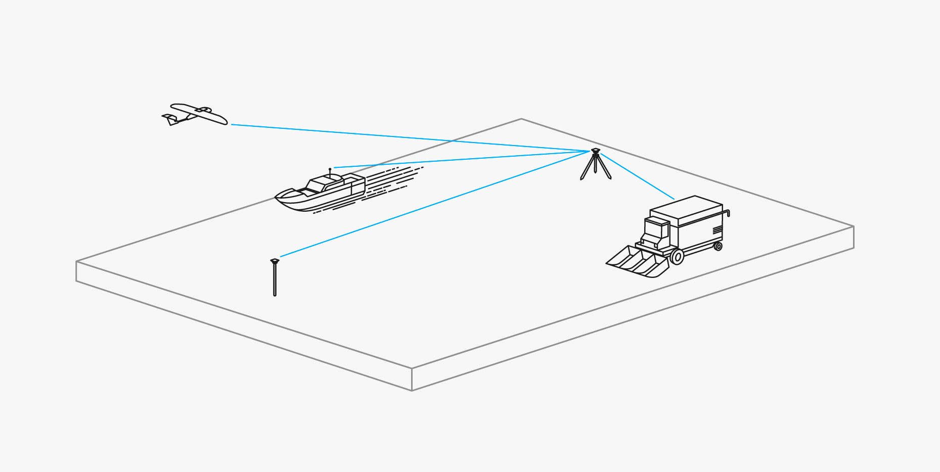
Two receivers are used in RTK. One of them is stationary, another moves freely. They are called base station and rover.
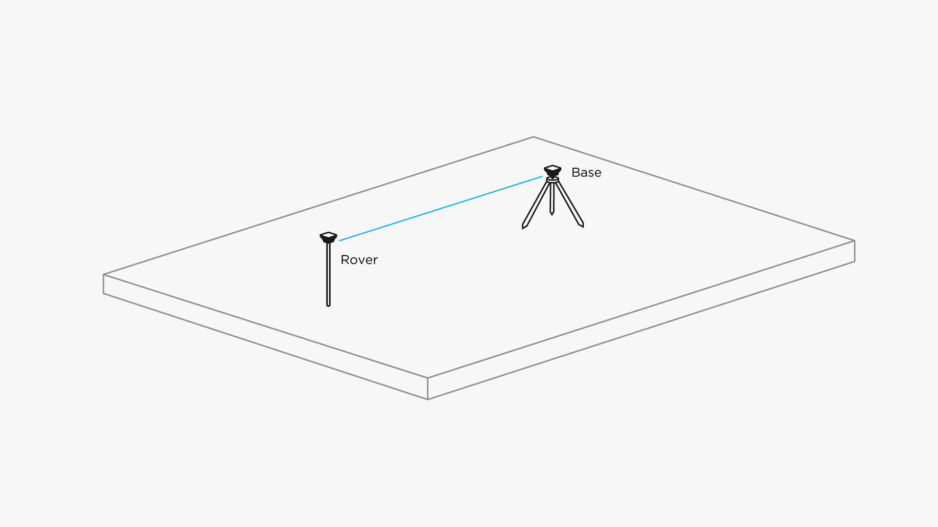
The base's mission is to stay in one place and send corrections to a moving receiver. Rover uses that data to achieve centimeter precise position. Any number of rovers can connect to one base if their input settings match the base's output.
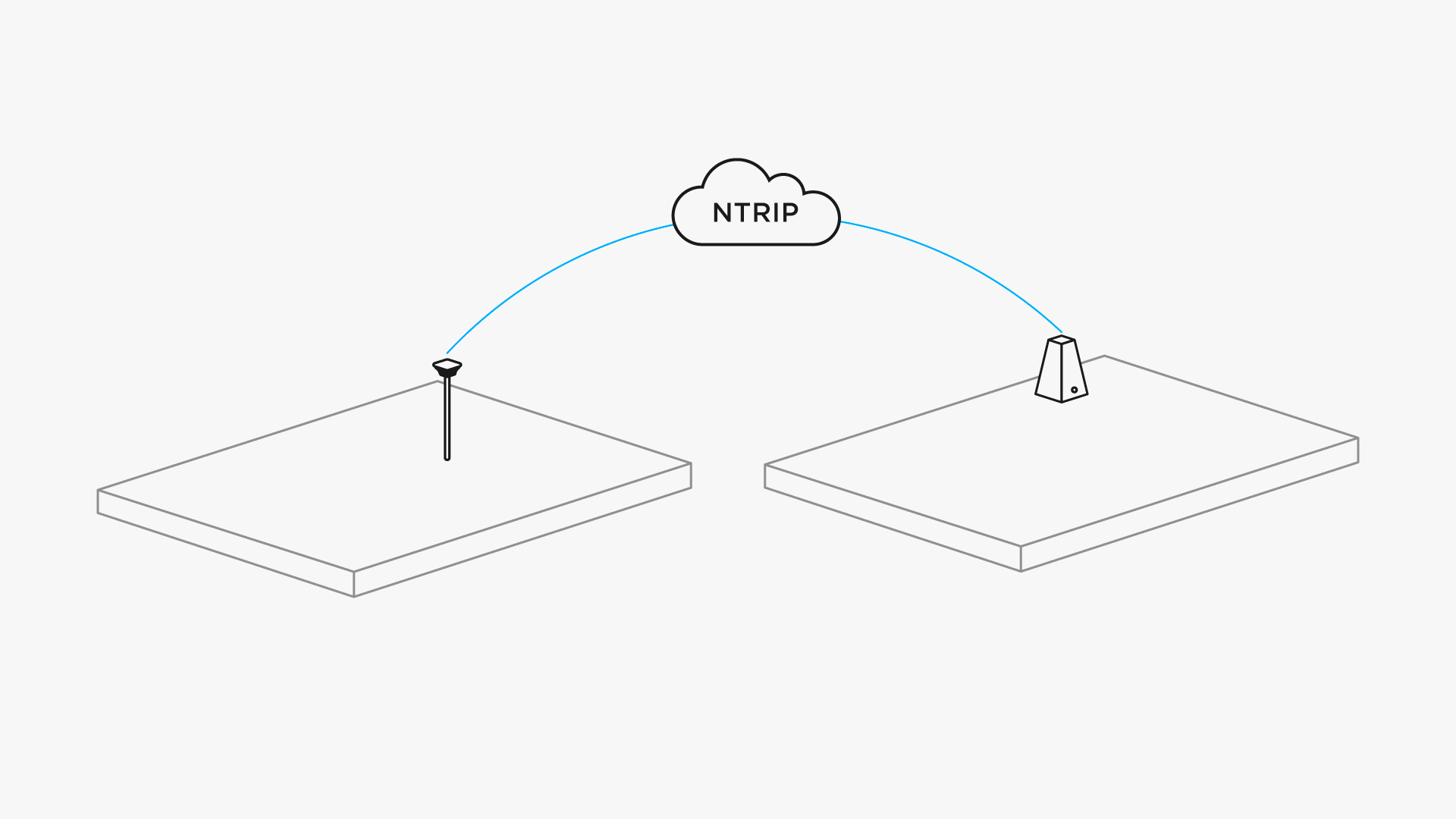
Corrections over NTRIP
You do not necessarily need a second unit for RTK all the time. Usually, there are local services that share base corrections over the Internet. This technology is called NTRIP.
NTRIP is a good option for areas with strong 3G/LTE coverage and a vast network of NTRIP bases nearby. In other cases, using the second receiver as a local base station has two advantages:
- autonomy in remote areas as there is no need in the Internet connection
- independency from local providers, no additional fees by NTRIP service
Single-band and multi-band receivers
Roughly speaking, there are two types of receivers: single-band (L1) and multi-band (L1/L2 or more). Their differences come from how much data they can receive from satellites.
For example, it helps to increase the maximum distance between base and rover, which is also called baseline:
| Single-band maximum baseline | Multi-band maximum baseline | |
|---|---|---|
| RTK | 10 km (6 miles) | 60 km (36 miles) |
| PPK | 30 km (18 miles) | 100 km (60 miles) |
Multi-band receiver is also way more robust when it comes to sky view. It can maintain centimeter precision even if you survey in challenging conditions: forest, city, mining sights, quarries, etc.